Islington
Islington/P2026/0640/TRE
18, Ripplevale Grove, London, N1 1HU
- Reference
- Islington/P2026/0640/TRE
- Authority
- Islington
- Application type
- Works application to tree with Tree Preservation Order
- Address
- 18, Ripplevale Grove, London, N1 1HU
- Postcode
- N1 1HU
- Status
- FINAL DECISION
- Decision
- Approve with conditions
- Received
- 9 Mar 2026
- Validated
- 10 Mar 2026
- Started
- 10 Mar 2026
- Decided
- 23 Mar 2026
- Source council
- Islington
- Council source record
- View public record
- Public data licence
- Open Government Licence v3.0
- Record updated
- 14 Jul 2026
- SEO index generated
- 24 Jul 2026
Location
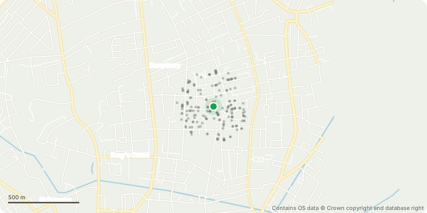
Approximate location - Contains OS data © Crown copyright and database right
Proposal
Trees: T24, T25, T26 — TPO 7/1976 Description of Proposed Works: Crown reduction to previous pruning points in accordance with BS 3998:2010, retaining the established pruning framework. All pruning cuts to be made to suitable secondary branches or growth points of adequate size to aid compartmentalisation and minimise the risk of decay. The works will restore and maintain the trees within their current size and shape envelope. Removal of epicormic growth from stems and primary scaffold branches throughout, to suppress regenerative suckering, maintain crown clarity and prevent progressive encroachment upon adjacent railings and highway infrastructure (pavement). All works to be carried out by a competent arborist in accordance with BS 3998:2010 Recommendations for Tree Work. Reasons for Works: To maintain the trees within their established size and shape, manage epicormic growth arising from previous reduction works, and prevent ongoing and future damage to adjacent railings and public pavement. Frequency: Annually
Key dates
- Received 9 Mar 2026
- Validated 10 Mar 2026
- Started 10 Mar 2026
- Decided 23 Mar 2026
Planning history / related applications
No related planning applications have been identified in the current public OGL dataset.
Inside plotEdge
Go beyond the public record
This page is the public OGL record. plotEdge adds the private intelligence layer for this site - open it in the app to unlock:
- Ownership & title Registered owner and title from HM Land Registry.
- Viability & build potential Site scoring and development upside.
- Constraints Flood risk, green belt, conservation areas and designations.
- Approval signal Planning risk and approval-likelihood analysis.
- Comparable applications Decisions on similar nearby sites, side by side.
- Status alerts Get notified the moment this application changes.
Source: public planning application data from Islington, reused under the Open Government Licence v3.0. View the council source record. Council documents and drawings are not republished on plotEdge.