Islington
Islington/P2026/0259/TRE
16, Flat 1, Offord Road, London, N1 1DL
- Reference
- Islington/P2026/0259/TRE
- Authority
- Islington
- Application type
- Tree Works Notification in Conservation Area
- Address
- 16, Flat 1, Offord Road, London, N1 1DL
- Postcode
- N1 1DL
- Status
- FINAL DECISION
- Decision
- Tree Works - Auto Permit
- Received
- 2 Feb 2026
- Validated
- 4 Feb 2026
- Started
- 4 Feb 2026
- Decided
- 5 Feb 2026
- Source council
- Islington
- Council source record
- View public record
- Public data licence
- Open Government Licence v3.0
- Record updated
- 14 Jul 2026
- SEO index generated
- 24 Jul 2026
Location
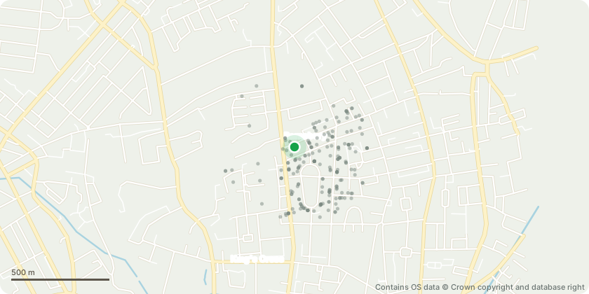
Approximate location - Contains OS data © Crown copyright and database right
Proposal
I own, with my husband, Flat 1 16 Offord Rd, which has a private garden. I wish to remove an elder which has been left to grow into a tree and is now pulling down the brick wall that we share with Number 14. It is also considerably shading the garden to number 16. I am a landlord who has rented out the property for the last 16 years. It has been looked after by a managing agent who did not alert me to the fact that a small elder had grown into a tree during this period. The tree in question is towards the rear of our garden, and is very close to the wall which we share with Number 14 Offord Rd. The garden at number 16 is surrounded by other trees so I believe that if we are allowed to remove the elder tree and its root, it will also allow a little more light into the garden at number 16, whilst there will still be a lot of greenery from other trees. It will also allow us to safely repair the wall. If approved I will employ a professional tree surgeon to carry out the work.
Key dates
- Received 2 Feb 2026
- Validated 4 Feb 2026
- Started 4 Feb 2026
- Decided 5 Feb 2026
Planning history / related applications
No related planning applications have been identified in the current public OGL dataset.
Inside plotEdge
Go beyond the public record
This page is the public OGL record. plotEdge adds the private intelligence layer for this site - open it in the app to unlock:
- Ownership & title Registered owner and title from HM Land Registry.
- Viability & build potential Site scoring and development upside.
- Constraints Flood risk, green belt, conservation areas and designations.
- Approval signal Planning risk and approval-likelihood analysis.
- Comparable applications Decisions on similar nearby sites, side by side.
- Status alerts Get notified the moment this application changes.
Source: public planning application data from Islington, reused under the Open Government Licence v3.0. View the council source record. Council documents and drawings are not republished on plotEdge.