Islington
Islington/P2026/0209/TRE
2, Northolme Road, London, N5 2UZ
- Reference
- Islington/P2026/0209/TRE
- Authority
- Islington
- Application type
- Tree Works Notification in Conservation Area
- Address
- 2, Northolme Road, London, N5 2UZ
- Postcode
- N5 2UZ
- Status
- FINAL DECISION
- Decision
- Tree Works - Auto Permit
- Received
- 28 Jan 2026
- Validated
- 30 Jan 2026
- Started
- 30 Jan 2026
- Decided
- 2 Feb 2026
- Source council
- Islington
- Council source record
- View public record
- Public data licence
- Open Government Licence v3.0
- Record updated
- 14 Jul 2026
- SEO index generated
- 24 Jul 2026
Location
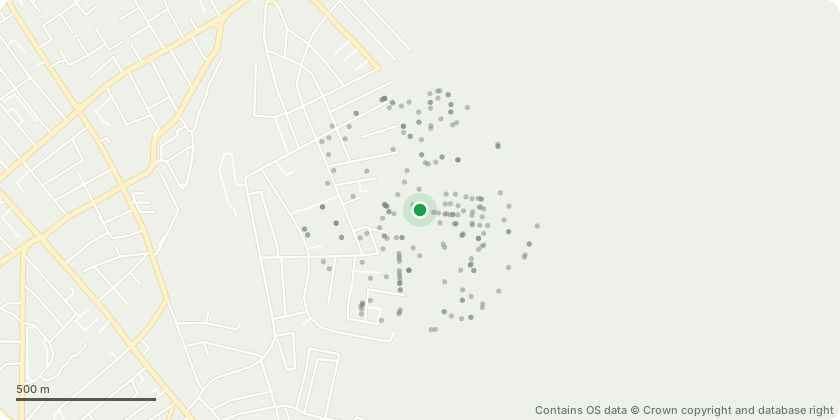
Approximate location - Contains OS data © Crown copyright and database right
Proposal
T1 & T2: Lime x 2 Tilia SP Crown Reduction - Retaining Furnishing Growth Reduce the crown to manage overall size and end-weight while retaining furnishing (fine, well-distributed) growth throughout the crown. Reduction to be carried out evenly, maintaining a natural, balanced crown shape appropriate to the species. Final pruning cuts to suitable secondary growth points to encourage healthy regrowth. No topping or excessive removal of primary framework limbs Works to improve light levels, reduce sail effect, and maintain long term tree health T3: Olive (Olea europaea) - Crown to be reshaped and lightly reduced to restore a tidy, balanced form Remove crossing, congested, and poorly placed growth Retain the tree's characteristic habit while improving structure and appearance Cuts made with consideration to future growth and flowering Reason for works: General tree maintenance
Key dates
- Received 28 Jan 2026
- Validated 30 Jan 2026
- Started 30 Jan 2026
- Decided 2 Feb 2026
Planning history / related applications
No related planning applications have been identified in the current public OGL dataset.
Inside plotEdge
Go beyond the public record
This page is the public OGL record. plotEdge adds the private intelligence layer for this site - open it in the app to unlock:
- Ownership & title Registered owner and title from HM Land Registry.
- Viability & build potential Site scoring and development upside.
- Constraints Flood risk, green belt, conservation areas and designations.
- Approval signal Planning risk and approval-likelihood analysis.
- Comparable applications Decisions on similar nearby sites, side by side.
- Status alerts Get notified the moment this application changes.
Source: public planning application data from Islington, reused under the Open Government Licence v3.0. View the council source record. Council documents and drawings are not republished on plotEdge.