Islington
Islington/P2025/3554/S73
Land Rear Of 28 Amwell Street, Amwell Street, London
- Reference
- Islington/P2025/3554/S73
- Authority
- Islington
- Application type
- Removal/Variation of Condition (Section 73)
- Address
- Land Rear Of 28 Amwell Street, Amwell Street, London
- Status
- VALIDATED
- Received
- 15 Dec 2025
- Validated
- 10 Feb 2026
- Started
- 10 Feb 2026
- Source council
- Islington
- Council source record
- View public record
- Public data licence
- Open Government Licence v3.0
- Record updated
- 14 Jul 2026
- SEO index generated
- 24 Jul 2026
Location
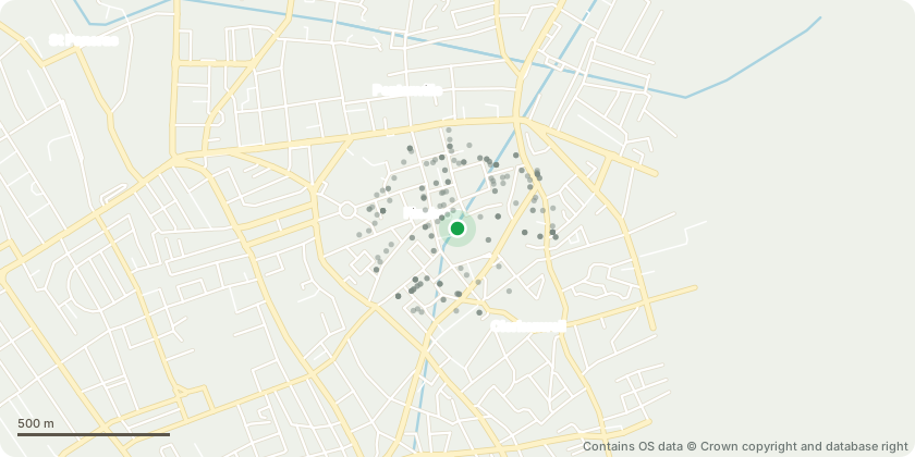
Approximate location - Contains OS data © Crown copyright and database right
Proposal
Removal / variation approval of details of conditon 2 (Approved Drawings) of planning permission reference P2024/1540/FUL, dated: 19/05/2025 for the 'Change of use and conversion of Grade II listed buildings known as the Engine House, Boiler House, Coal Store and Windmill Base from Class E (Commercial, Business and Service) to Class F1 (Learning and Non-Residential Institution) for gallery, exhibition and education use with ancillary shop, cafe and office uses. Occasional use as an events venue for private hire. Reconfiguration of North Stores and construction of foyer link between North Stores and main buildings. Provision of landscaping and public realm enhancements including creation of a pedestrian route through the Site. Reconfiguration of new vehicular and pedestrian access into the site from Amwell Street and pedestrian and servicing access from Myddelton Passage. External lighting scheme also proposed. (Joint Listed Building Consent submitted ref: P2024/1543/LBC).' The application seeks to reduce the sizes of 4 approved rooflights and introduce an additional rooflight to North Store (Listed Building Consent ref.P2026/0253/LBC also submitted)
Key dates
- Received 15 Dec 2025
- Validated 10 Feb 2026
- Started 10 Feb 2026
Planning history / related applications
No related planning applications have been identified in the current public OGL dataset.
Inside plotEdge
Go beyond the public record
This page is the public OGL record. plotEdge adds the private intelligence layer for this site - open it in the app to unlock:
- Ownership & title Registered owner and title from HM Land Registry.
- Viability & build potential Site scoring and development upside.
- Constraints Flood risk, green belt, conservation areas and designations.
- Approval signal Planning risk and approval-likelihood analysis.
- Comparable applications Decisions on similar nearby sites, side by side.
- Status alerts Get notified the moment this application changes.
Source: public planning application data from Islington, reused under the Open Government Licence v3.0. View the council source record. Council documents and drawings are not republished on plotEdge.