Islington
Islington/P2025/3309/NMA
50-56 Great Sutton Street and 9-11 Northburgh Street, London, EC1V 0DE
- Reference
- Islington/P2025/3309/NMA
- Authority
- Islington
- Application type
- Non-Material Amendment
- Address
- 50-56 Great Sutton Street and 9-11 Northburgh Street, London, EC1V 0DE
- Postcode
- EC1V 0DE
- Status
- FINAL DECISION
- Decision
- Non-material amendment(s) agreed
- Received
- 24 Nov 2025
- Validated
- 11 Dec 2025
- Started
- 11 Dec 2025
- Decided
- 28 Jan 2026
- Source council
- Islington
- Council source record
- View public record
- Public data licence
- Open Government Licence v3.0
- Record updated
- 18 Jul 2026
- SEO index generated
- 24 Jul 2026
Location
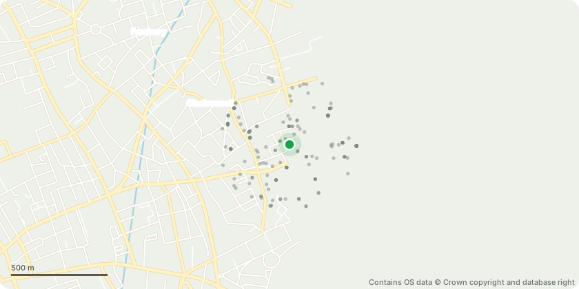
Approximate location - Contains OS data © Crown copyright and database right
Proposal
Non-material amendment to planning permission ref. P2023/2609/FUL dated 27/03/2024 (as amended by P2024/1454/NMA dated 09/08/2024 and P2024/3557/NMA dated 04/02/2025) (‘Alterations to existing building comprising the construction of a new fifth floor extension for office floorspace at 9 - 11 Northburgh Street, new external cladding and facades facing Great Sutton Street and Northburgh Street, replacement of roof coverings and all windows with double glazed units, [removal of two stair cores and replacement of passenger lifts; relocation of M&E central plant to the basement; comprehensive refurbishment of reception space,] improvements to external courtyard and amenity spaces, and associated refuse and cycle storage.’) in order to amend ground floor entrance doors and fire escape, GRC column casing, re-configure roof lights and omit roof ducts and install dry risers and pipes at roof level, amend balustrade to L01 terrace, amend internal layouts and basement and ground floor levels and associated minor façade changes.
Key dates
- Received 24 Nov 2025
- Validated 11 Dec 2025
- Started 11 Dec 2025
- Decided 28 Jan 2026
Planning history / related applications
No related planning applications have been identified in the current public OGL dataset.
Inside plotEdge
Go beyond the public record
This page is the public OGL record. plotEdge adds the private intelligence layer for this site - open it in the app to unlock:
- Ownership & title Registered owner and title from HM Land Registry.
- Viability & build potential Site scoring and development upside.
- Constraints Flood risk, green belt, conservation areas and designations.
- Approval signal Planning risk and approval-likelihood analysis.
- Comparable applications Decisions on similar nearby sites, side by side.
- Status alerts Get notified the moment this application changes.
Source: public planning application data from Islington, reused under the Open Government Licence v3.0. View the council source record. Council documents and drawings are not republished on plotEdge.