Islington
Islington/P2025/2838/TRE
19 Huntingdon Street, London, N1 1BU
- Reference
- Islington/P2025/2838/TRE
- Authority
- Islington
- Application type
- Tree Works Notification in Conservation Area
- Address
- 19 Huntingdon Street, London, N1 1BU
- Postcode
- N1 1BU
- Status
- FINAL DECISION
- Decision
- Tree Works - Auto Permit
- Received
- 7 Oct 2025
- Validated
- 13 Oct 2025
- Started
- 13 Oct 2025
- Decided
- 15 Oct 2025
- Source council
- Islington
- Council source record
- View public record
- Public data licence
- Open Government Licence v3.0
- Record updated
- 18 Jul 2026
- SEO index generated
- 24 Jul 2026
Location
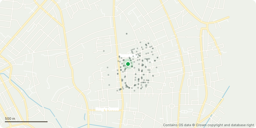
Approximate location - Contains OS data © Crown copyright and database right
Proposal
T1: False Acacia - Proposed to be removed: Removal of Robinia pseudoacacia (false acacia) is proposed. As a non-native and invasive species, this tree can spread aggressively through suckering and, to a lesser extent, self-seeding and can outcompete native flora, reducing biodiversity. At low level the suckering is already at risk of damaging the boundary brick wall due to close proximity. The tree overhangs adjacent property, upon removal - a significant benefit from increased light. Replanting a new tree is not proposed due to significant existing canopy cover and space constraints. A semi-mature native silver birch (Betula pendula) T2 is already established in the garden, and further canopy is provided by adjacent trees, including an apple tree in an adjacent garden. Introducing a new tree in this context would create excessive light and root competition, which could negatively impact the health of all trees and inhibit the proper growth and development of a new specimen.
Key dates
- Received 7 Oct 2025
- Validated 13 Oct 2025
- Started 13 Oct 2025
- Decided 15 Oct 2025
Planning history / related applications
No related planning applications have been identified in the current public OGL dataset.
Inside plotEdge
Go beyond the public record
This page is the public OGL record. plotEdge adds the private intelligence layer for this site - open it in the app to unlock:
- Ownership & title Registered owner and title from HM Land Registry.
- Viability & build potential Site scoring and development upside.
- Constraints Flood risk, green belt, conservation areas and designations.
- Approval signal Planning risk and approval-likelihood analysis.
- Comparable applications Decisions on similar nearby sites, side by side.
- Status alerts Get notified the moment this application changes.
Source: public planning application data from Islington, reused under the Open Government Licence v3.0. View the council source record. Council documents and drawings are not republished on plotEdge.