Islington
Islington/P2025/2760/TRE
Newlon Housing Trust, 1A Barnsbury Estate Management Organisation, ADRIAN HOUSE, Jays Street, London, N1 0FE
- Reference
- Islington/P2025/2760/TRE
- Authority
- Islington
- Application type
- Works application to tree with Tree Preservation Order
- Address
- Newlon Housing Trust, 1A Barnsbury Estate Management Organisation, ADRIAN HOUSE, Jays Street, London, N1 0FE
- Postcode
- N1 0FE
- Status
- FINAL DECISION
- Decision
- Approve with conditions
- Received
- 1 Oct 2025
- Validated
- 4 Nov 2025
- Started
- 4 Nov 2025
- Decided
- 8 Dec 2025
- Source council
- Islington
- Council source record
- View public record
- Public data licence
- Open Government Licence v3.0
- Record updated
- 18 Jul 2026
- SEO index generated
- 24 Jul 2026
Location
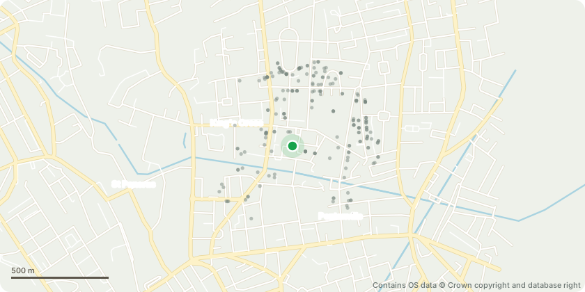
Approximate location - Contains OS data © Crown copyright and database right
Proposal
T488 Norway Maple - Crown lift to 2.4m for pedestrian clearance, and prune to clear fence by 1m, to prevent damage to fence. T489 Magnolia - Crown lift to 2.4m for pedestrian clearance, and prune to clear building by 2m, to prevent damage to the building. T491 Norway Maple - Crown lift part to 2.4m for pedestrian clearance, and crown lift part to 5.2m for highway clearance. T540 Italian Alder - Repollard / reduce to previous points. Previous pollard height of 13m, to maintain a pollard cycle. T554 Common Lime - Repollard. Previous pollard height 10m, current height 11m, to maintain a pollard cycle. T572 Common Ash - Repollard / reduce to previous points. Previous pollard height 13m, to maintain a pollard cycle. Prune to clear building / phone lines by 2m, to prevent damage to building and phone lines. T574 Bird Cherry - Repollard / reduce to previous points, previous pollard height 8m, to maintain a pollard cycle. Crown lift to 2.4m for pedestrian clearance, and prune to clear sign by 1m, to allow pedestrians to see sign. T575 Bird Cherry - Repollard / reduce to previous points, previous pollard height 11m, to maintain a pollard cycle. T634 Rowan - Crown lift to 5.2m for highway clearance. T639 Magnolia - Prune to clear lamp by 1m, crown lift to 5.2m for highway clearance, and prune to clear fence by 1m to prevent damage to fence. T650 Prunus - Repollard / reduce to previous points, pollarded at 10m, to maintain a pollard cycle. T651 Prunus - Crown lift to 4m over car park, for vehicle clearance. T652 Norway Maple - Crown lift to 2.4m for pedestrian clearance. T654 Prunus - Repollard / reduce to previous points to reduce windsail area and mechanical loading on defects. Pollard at 13m, to maintain a pollard cycle. T660 Red Oak - Repollard / reduce to previous points. Pollarded at 11m, to maintain a pollard cycle. T661 Common Ash - Repollard / reduce to previous points, pollarded at 10m, to maintain a pollard cycle. T663 Common Ash - Repollard to previous points, pollarded at 9m, , to maintain a pollard cycle. T673 Prunus - Fell tree, dead foliage, stem dead. T684 Norway Maple - Remove lowest branch with large 1m long cavity on upper side. T686 Norway Maple - Prune to clear lamp by 1m. T691 Common Ash - Prune to clear building by 2m to prevent damage to building. Prune to clear fence by 1m to prevent damage to fence. Remove hanging branch, to prevent branch from falling.
Key dates
- Received 1 Oct 2025
- Validated 4 Nov 2025
- Started 4 Nov 2025
- Decided 8 Dec 2025
Planning history / related applications
No related planning applications have been identified in the current public OGL dataset.
Inside plotEdge
Go beyond the public record
This page is the public OGL record. plotEdge adds the private intelligence layer for this site - open it in the app to unlock:
- Ownership & title Registered owner and title from HM Land Registry.
- Viability & build potential Site scoring and development upside.
- Constraints Flood risk, green belt, conservation areas and designations.
- Approval signal Planning risk and approval-likelihood analysis.
- Comparable applications Decisions on similar nearby sites, side by side.
- Status alerts Get notified the moment this application changes.
Source: public planning application data from Islington, reused under the Open Government Licence v3.0. View the council source record. Council documents and drawings are not republished on plotEdge.