Islington
Islington/P2025/2527/TRE
58, Highbury Hill, London, N5 1AP
- Reference
- Islington/P2025/2527/TRE
- Authority
- Islington
- Application type
- Tree Works Notification in Conservation Area
- Address
- 58, Highbury Hill, London, N5 1AP
- Postcode
- N5 1AP
- Status
- FINAL DECISION
- Received
- 5 Sept 2025
- Validated
- 10 Sept 2025
- Started
- 10 Sept 2025
- Source council
- Islington
- Council source record
- View public record
- Public data licence
- Open Government Licence v3.0
- Record updated
- 18 Jul 2026
- SEO index generated
- 24 Jul 2026
Location
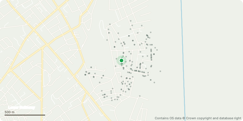
Approximate location - Contains OS data © Crown copyright and database right
Proposal
We propose pruning the Willow Tree in the rear garden of 58 Highbury Hill, London, N5 1AP. This tree was last pruned in 2021 and is in need of pruning given the 4 years of growth since. We propose that for this Willow Tree we: • Reduce the canopy by 33%. This would be undertaken using a combination of crown thinning and crown reduction, i.e. "drop-crotching” or “reduction via thinning” • Remove any deadwood and branch stubs (to the branch collar) that exist as a consequence of previous poor and unprofessional pruning. We propose all these works be undertaken by a reputable and professional tree surgeon working to BS 3998. The willow tree is within influencing distance of our property and geological maps indicate that the soils are shrinkable. Besides providing professional management of the tree, the works proposed would also reduce the subsidence risk to the property where there has been historical suspected subsidence due to the tree. In future we propose maintaining the willow tree at this reduced size via pruning by a professional tree surgeon working to BS 3998 every 3 - 5 years.
Key dates
- Received 5 Sept 2025
- Validated 10 Sept 2025
- Started 10 Sept 2025
Planning history / related applications
No related planning applications have been identified in the current public OGL dataset.
Inside plotEdge
Go beyond the public record
This page is the public OGL record. plotEdge adds the private intelligence layer for this site - open it in the app to unlock:
- Ownership & title Registered owner and title from HM Land Registry.
- Viability & build potential Site scoring and development upside.
- Constraints Flood risk, green belt, conservation areas and designations.
- Approval signal Planning risk and approval-likelihood analysis.
- Comparable applications Decisions on similar nearby sites, side by side.
- Status alerts Get notified the moment this application changes.
Source: public planning application data from Islington, reused under the Open Government Licence v3.0. View the council source record. Council documents and drawings are not republished on plotEdge.