Islington
Islington/P2025/2447/OBS
130 Fenchurch Street London EC3M 5DJ
- Reference
- Islington/P2025/2447/OBS
- Authority
- Islington
- Application type
- Observations to Adjoining Borough
- Address
- 130 Fenchurch Street London EC3M 5DJ
- Postcode
- EC3M 5DJ
- Status
- FINAL DECISION
- Decision
- Observations to adjoining borough - no comments
- Received
- 27 Aug 2025
- Validated
- 18 Dec 2025
- Started
- 18 Dec 2025
- Decided
- 16 Jan 2026
- Source council
- Islington
- Council source record
- View public record
- Public data licence
- Open Government Licence v3.0
- Record updated
- 18 Jul 2026
- SEO index generated
- 24 Jul 2026
Location
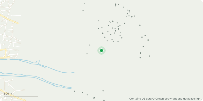
Approximate location - Contains OS data © Crown copyright and database right
Proposal
Observations to adjoining borough - City of London Planning authority ref: 25/00529/FULEIA - on Phased development for the demolition of all buildings and structures to existing slab level, erection of a new building comprising 3 basement levels, ground plus 34 storeys (161.46m AOD, 145.86m AGL) to provide a mixed use office (Class E(g)), culture (Class F1/E), public viewing gallery (Sui Generis), flexible retail (Class E(a)-(b)) development with soft and hard landscaping, pedestrian and vehicular access, cycle parking, flexible public realm including programmable space with associated highway works and all other works associated with the development. [RECONSULTATION under Regulation 25 of the Town and Country Planning (Environmental Impact Assessment) Regulations 2017 (as amended) following receipt of further information in relation to the Environmental Statement, including further testing to wind microclimate for off-site terraces at 50 Fenchurch Street outlined in the letter dated 22 August 2025. Minor amendments to the Proposed Development include changes to balustrade heights to terraces and internal layout alterations]
Key dates
- Received 27 Aug 2025
- Validated 18 Dec 2025
- Started 18 Dec 2025
- Decided 16 Jan 2026
Planning history / related applications
No related planning applications have been identified in the current public OGL dataset.
Inside plotEdge
Go beyond the public record
This page is the public OGL record. plotEdge adds the private intelligence layer for this site - open it in the app to unlock:
- Ownership & title Registered owner and title from HM Land Registry.
- Viability & build potential Site scoring and development upside.
- Constraints Flood risk, green belt, conservation areas and designations.
- Approval signal Planning risk and approval-likelihood analysis.
- Comparable applications Decisions on similar nearby sites, side by side.
- Status alerts Get notified the moment this application changes.
Source: public planning application data from Islington, reused under the Open Government Licence v3.0. View the council source record. Council documents and drawings are not republished on plotEdge.