Islington
Islington/P2025/2349/TRE
27, Highbury Hill, London, N5 1SU
- Reference
- Islington/P2025/2349/TRE
- Authority
- Islington
- Application type
- Tree Works Notification in Conservation Area
- Address
- 27, Highbury Hill, London, N5 1SU
- Postcode
- N5 1SU
- Status
- FINAL DECISION
- Received
- 15 Aug 2025
- Validated
- 24 Sept 2025
- Started
- 24 Sept 2025
- Source council
- Islington
- Council source record
- View public record
- Public data licence
- Open Government Licence v3.0
- Record updated
- 18 Jul 2026
- SEO index generated
- 24 Jul 2026
Location
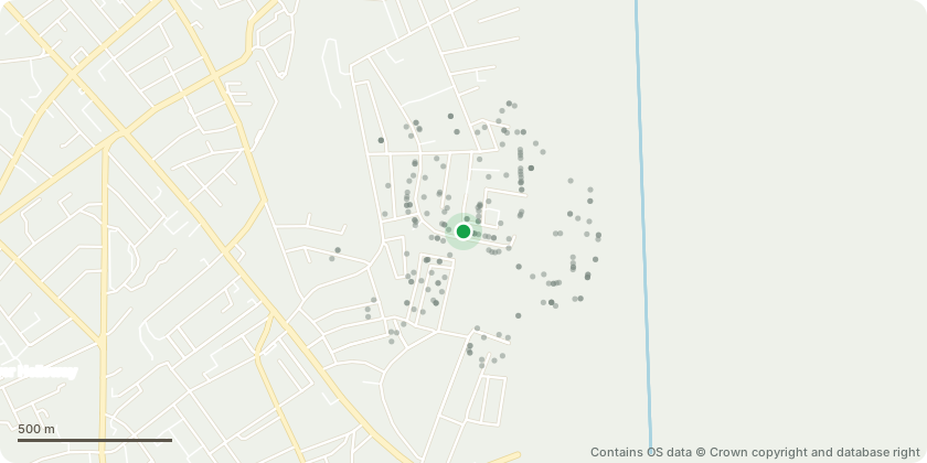
Approximate location - Contains OS data © Crown copyright and database right
Proposal
Tree Removal Section 211 Notification – Islington Conservation Area Site Address: 27 Highbury Hill Tree Details: Tree 1 Species: Crabapple tree Location: Rear garden, close to boundary party wall Proposed Work: Removal Tree 2 Species: Japanese Maple tree Location: Rear garden, close to boundary party wall Proposed Work: Removal Reason for Proposed Work The two trees are located within the rear garden of the property, in close proximity to the boundary party walls. Construction works are currently being carried out nearby, as part of a previously approved rear extension and basement excavation. The newly approved structure is positioned on top of or very close to the current location of both trees. Given their proximity to the construction area, retaining or relocating the trees poses a high risk to their long-term health, particularly due to potential damage to their root systems. For this reason, we are proposing their removal. We intend to replace the trees with new ones following completion of the building works. The replacement trees will be planted in more suitable locations within the garden, and low-level vegetation will also be introduced to enhance the landscaping.
Key dates
- Received 15 Aug 2025
- Validated 24 Sept 2025
- Started 24 Sept 2025
Planning history / related applications
No related planning applications have been identified in the current public OGL dataset.
Inside plotEdge
Go beyond the public record
This page is the public OGL record. plotEdge adds the private intelligence layer for this site - open it in the app to unlock:
- Ownership & title Registered owner and title from HM Land Registry.
- Viability & build potential Site scoring and development upside.
- Constraints Flood risk, green belt, conservation areas and designations.
- Approval signal Planning risk and approval-likelihood analysis.
- Comparable applications Decisions on similar nearby sites, side by side.
- Status alerts Get notified the moment this application changes.
Source: public planning application data from Islington, reused under the Open Government Licence v3.0. View the council source record. Council documents and drawings are not republished on plotEdge.