Islington
Islington/P2025/1867/TRE
St Josephs Catholic Primary School, Dartmouth Park Hill, London, N19 5DT
- Reference
- Islington/P2025/1867/TRE
- Authority
- Islington
- Application type
- Works application to tree with Tree Preservation Order
- Address
- St Josephs Catholic Primary School, Dartmouth Park Hill, London, N19 5DT
- Postcode
- N19 5DT
- Status
- FINAL DECISION
- Received
- 27 Jun 2025
- Validated
- 6 Oct 2025
- Started
- 6 Oct 2025
- Source council
- Islington
- Council source record
- View public record
- Public data licence
- Open Government Licence v3.0
- Record updated
- 18 Jul 2026
- SEO index generated
- 24 Jul 2026
Location
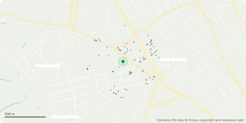
Approximate location - Contains OS data © Crown copyright and database right
Proposal
We are requesting the removal of a cherry tree LBI TPI 414 2009 to make space for a permanent outdoor classroom within our school’s environmental learning area. We are a large Primary school with 530 pupils (2 to 11 yrs) with a large number of children eligible for free school meals 31%. Many children do not have daily access to outdoor space and the school is the only area where they can fully engage in learning about growing plants and wildlife. The outdoor classroom will allow us to deliver a Forest School approach giving our children hands-on, nature-based experiences throughout the year. Unlike a traditional classroom, this space will sit at the heart of our outdoor learning zone, next to our pond and growing areas. It will help children feel part of nature, not just observers. Unfortunately, this is the only suitable site within our grounds that is large enough to put in place a meaningful building. Most other areas are sloped, already in use, or not accessible for younger pupils. The proposed site is: • Flat and safe for young children. • Central to our existing environmental learning resources. • Already contains a structure, so disruption to other areas will be minimal. • The only area that meets access, safety, and logistical requirements. This classroom will be used daily to deliver curriculum content and outdoor education. It will also be available for local groups and parent-led activities, and we would welcome the local authority to see it as a model for how outdoor learning can work within school grounds. The cherry tree on site is currently overgrown. While we understand it holds a CAVAT value and may be a Category B tree, it does not support our educational or biodiversity goals in its current state. By contrast, the new classroom will be a daily-used learning space, offering greater value to both pupils and the wider community. Our school has a strong record of supporting biodiversity. We’ve planted at least ten fruit trees in recent years to create a mini orchard, and would be happy to plant further replacements to offset the removal. We are also open to: • Planting replacement trees or making other biodiversity contributions – we would like to enhance our growing beds and develop the pond area as well as the habitat for our chickens. • Working with the LA to ensure no impact to nearby Root Protection Areas. For us, this project is such an important step in developing the environment & outdoor learning at our school. As an outstanding primary school and an exemplar of excellent and forward thinking practice of Primary curriculum this is part of the overall strategy to further enhance the children’s experiences. It’s a carefully planned, environmentally responsible initiative that will benefit children, staff, and the local community. We value all the trees and the beautiful environment around us and would not remove a tree if the educational and long-term environmental gains did not far outweigh the loss of this tree.
Key dates
- Received 27 Jun 2025
- Validated 6 Oct 2025
- Started 6 Oct 2025
Planning history / related applications
No related planning applications have been identified in the current public OGL dataset.
Inside plotEdge
Go beyond the public record
This page is the public OGL record. plotEdge adds the private intelligence layer for this site - open it in the app to unlock:
- Ownership & title Registered owner and title from HM Land Registry.
- Viability & build potential Site scoring and development upside.
- Constraints Flood risk, green belt, conservation areas and designations.
- Approval signal Planning risk and approval-likelihood analysis.
- Comparable applications Decisions on similar nearby sites, side by side.
- Status alerts Get notified the moment this application changes.
Source: public planning application data from Islington, reused under the Open Government Licence v3.0. View the council source record. Council documents and drawings are not republished on plotEdge.