Islington
Islington/P2025/1263/AOD
99 Charterhouse Street, London EC1M 6HR
- Reference
- Islington/P2025/1263/AOD
- Authority
- Islington
- Application type
- Approval of Details
- Address
- 99 Charterhouse Street, London EC1M 6HR
- Postcode
- EC1M 6HR
- Status
- FINAL DECISION
- Decision
- Approve with no conditions
- Received
- 2 May 2025
- Validated
- 9 May 2025
- Started
- 9 May 2025
- Decided
- 20 Oct 2025
- Source council
- Islington
- Council source record
- View public record
- Public data licence
- Open Government Licence v3.0
- Record updated
- 18 Jul 2026
- SEO index generated
- 24 Jul 2026
Location
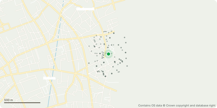
Approximate location - Contains OS data © Crown copyright and database right
Proposal
Submission of details pursuant to condition 10 (ground movement and risk assessment method statement) of planning permission ref. P2023/1606/FUL (Erection of a roof extension at fourth, fifth and sixth floors, rear extensions to floors one to six to accommodate additional office floorspace (Class E), provision of rear and rooftop terraced amenity spaces, alterations to the ground floor entrance, opening-up of the existing infilled basement space, recladding and remodelling of the Charterhouse Street facade, alterations at roof level including the provision of replacement plant and machinery, creation of a flexible Class E/Sui Generis unit at ground floor level and other associated works).
Key dates
- Received 2 May 2025
- Validated 9 May 2025
- Started 9 May 2025
- Decided 20 Oct 2025
Planning history / related applications
No related planning applications have been identified in the current public OGL dataset.
Inside plotEdge
Go beyond the public record
This page is the public OGL record. plotEdge adds the private intelligence layer for this site - open it in the app to unlock:
- Ownership & title Registered owner and title from HM Land Registry.
- Viability & build potential Site scoring and development upside.
- Constraints Flood risk, green belt, conservation areas and designations.
- Approval signal Planning risk and approval-likelihood analysis.
- Comparable applications Decisions on similar nearby sites, side by side.
- Status alerts Get notified the moment this application changes.
Source: public planning application data from Islington, reused under the Open Government Licence v3.0. View the council source record. Council documents and drawings are not republished on plotEdge.