Islington
Islington/P2025/1075/TRE
94 Hornsey Lane, London
- Reference
- Islington/P2025/1075/TRE
- Authority
- Islington
- Application type
- Tree Works Notification in Conservation Area
- Address
- 94 Hornsey Lane, London
- Status
- FINAL DECISION
- Received
- 10 Apr 2025
- Validated
- 2 May 2025
- Started
- 2 May 2025
- Source council
- Islington
- Council source record
- View public record
- Public data licence
- Open Government Licence v3.0
- Record updated
- 18 Jul 2026
- SEO index generated
- 24 Jul 2026
Location
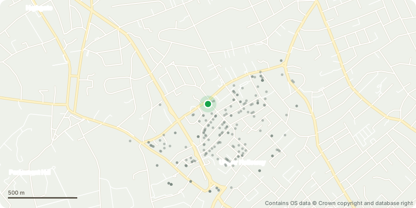
Approximate location - Contains OS data © Crown copyright and database right
Proposal
This application concerns a common lime tree which sits on land within the garden of 94 Hornsey Lane, immediately adjoining the lane leading to 10 garages and 77 Whitehall Park, N19 3TW. The tree is leaning into the lane, and causing an obstruction to lane traffic - and the angle at which it is leaning is speeding up, which makes us think it could be dangerous. The tree can be seen in the accompanying photos. It is one of a group of self-seeded trees which have been allowed to grow in an uncontrolled manner. Our plan is to remove that part of the tree which obstructs the lane, leaving the trunk of the tree (in the neighbour's garden). The neighbour has not responded to numerous requests to deal with this tree - and latterly to permit us to remove it completely at our sole expense. He has been contacted by email, registered letter and text.
Key dates
- Received 10 Apr 2025
- Validated 2 May 2025
- Started 2 May 2025
Planning history / related applications
No related planning applications have been identified in the current public OGL dataset.
Inside plotEdge
Go beyond the public record
This page is the public OGL record. plotEdge adds the private intelligence layer for this site - open it in the app to unlock:
- Ownership & title Registered owner and title from HM Land Registry.
- Viability & build potential Site scoring and development upside.
- Constraints Flood risk, green belt, conservation areas and designations.
- Approval signal Planning risk and approval-likelihood analysis.
- Comparable applications Decisions on similar nearby sites, side by side.
- Status alerts Get notified the moment this application changes.
Source: public planning application data from Islington, reused under the Open Government Licence v3.0. View the council source record. Council documents and drawings are not republished on plotEdge.