Islington
Islington/P2025/0070/EIA
Barnsbury Estate, Copenhagen Street, Islington, London, N1
- Reference
- Islington/P2025/0070/EIA
- Authority
- Islington
- Application type
- Environmental Impact Assessment - Scoping
- Address
- Barnsbury Estate, Copenhagen Street, Islington, London, N1
- Status
- SECOND STAGE REVIEW
- Decision
- Completed
- Received
- 6 Jan 2025
- Validated
- 9 Jan 2025
- Started
- 9 Jan 2025
- Decided
- 18 Sept 2025
- Source council
- Islington
- Council source record
- View public record
- Public data licence
- Open Government Licence v3.0
- Record updated
- 18 Jul 2026
- SEO index generated
- 24 Jul 2026
Location
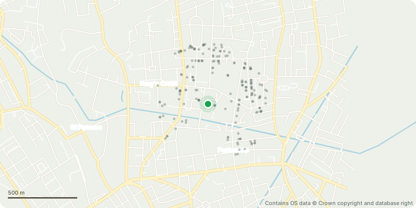
Approximate location - Contains OS data © Crown copyright and database right
Proposal
Barnsbury Estate EIA Scoping Opinion under the Town and Country Planning (Environmental Impact Assessment) Regulations 2017 in relation to the following proposed development: The demolition of the existing buildings on site and phased construction of a residential led scheme which would deliver up to 1,140 units, public realm, open space, car parking and new pedestrian/cycle/vehicular access. A hybrid application is proposed, with a detailed component to include residential units (C3), up to 1,000sq.m (GIA) of community floorspace (Class F2 and E(f) with a maximum building height of 21 storeys. The outline component would comprise residential units (C3) and up to 1500sq.m (GIA) of commercial floorspace (Class E), with a maximum building height of 10 storeys RE-CONSULT DUE TO SUBMISSION OF ADDENDUM REPORT BY APPLICANT WHICH INCREASES MAXIMUM NUMBER OF HOMES FROM 1,115 TO 1,140 AND MAXIMUM BUILDING HEIGHT FROM 18 STOREYS TO 21 STOREYS.
Key dates
- Received 6 Jan 2025
- Validated 9 Jan 2025
- Started 9 Jan 2025
- Decided 18 Sept 2025
Planning history / related applications
No related planning applications have been identified in the current public OGL dataset.
Inside plotEdge
Go beyond the public record
This page is the public OGL record. plotEdge adds the private intelligence layer for this site - open it in the app to unlock:
- Ownership & title Registered owner and title from HM Land Registry.
- Viability & build potential Site scoring and development upside.
- Constraints Flood risk, green belt, conservation areas and designations.
- Approval signal Planning risk and approval-likelihood analysis.
- Comparable applications Decisions on similar nearby sites, side by side.
- Status alerts Get notified the moment this application changes.
Source: public planning application data from Islington, reused under the Open Government Licence v3.0. View the council source record. Council documents and drawings are not republished on plotEdge.