Islington
Islington/P2024/3106/TRE
31, Amwell Street, London, EC1R 1UN
- Reference
- Islington/P2024/3106/TRE
- Authority
- Islington
- Application type
- Tree Works Notification in Conservation Area
- Address
- 31, Amwell Street, London, EC1R 1UN
- Postcode
- EC1R 1UN
- Status
- FINAL DECISION
- Received
- 21 Oct 2024
- Validated
- 29 Oct 2024
- Started
- 29 Oct 2024
- Source council
- Islington
- Council source record
- View public record
- Public data licence
- Open Government Licence v3.0
- Record updated
- 18 Jul 2026
- SEO index generated
- 24 Jul 2026
Location
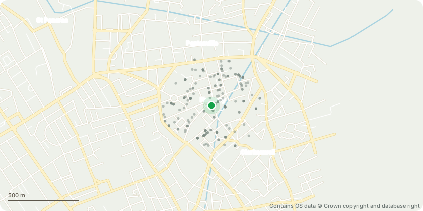
Approximate location - Contains OS data © Crown copyright and database right
Proposal
The tree ('T1') is located in the garden of 31 Amwell Street. T1 is a Bay tree: Laurus nobilis is an aromatic evergreen tree or large shrub with green, glabrous leaves. It has proximity to the structure and clear stem wounding. T1 has displaced the retaining brickwork, and root girdling is apparent within the planter. The planter has an open pit at its base, so water extraction in its direct area may be contributing to property damage. The industry-recognised management for property damage that has a potential association with tree-related vegetative water extraction, is to reduce crown volume. T1 will outgrow its location in the near future. T1 is in a poor location for a Bay (or any) tree, and it has outgrown from what should have been retained as a shrub. The proposed works are to pollard T1 to 3 meters in height and retain the tree as a high shrub. The proposal is set out in the enclosed report prepared by a chartered aborist, Paul Zepler (FdSc Arb, NC Arb, LANTRA PTI, VALIDATOR Arb).
Key dates
- Received 21 Oct 2024
- Validated 29 Oct 2024
- Started 29 Oct 2024
Planning history / related applications
No related planning applications have been identified in the current public OGL dataset.
Inside plotEdge
Go beyond the public record
This page is the public OGL record. plotEdge adds the private intelligence layer for this site - open it in the app to unlock:
- Ownership & title Registered owner and title from HM Land Registry.
- Viability & build potential Site scoring and development upside.
- Constraints Flood risk, green belt, conservation areas and designations.
- Approval signal Planning risk and approval-likelihood analysis.
- Comparable applications Decisions on similar nearby sites, side by side.
- Status alerts Get notified the moment this application changes.
Source: public planning application data from Islington, reused under the Open Government Licence v3.0. View the council source record. Council documents and drawings are not republished on plotEdge.