Isle of Wight
Isle of Wight/26/00951/TW
West Cliff Pump Lane Bembridge Isle Of Wight PO35 5NG
- Reference
- Isle of Wight/26/00951/TW
- Authority
- Isle of Wight
- Application type
- TW
- Address
- West Cliff Pump Lane Bembridge Isle Of Wight PO35 5NG
- Postcode
- PO35 5NG
- Status
- Registered
- Received
- 17 Jul 2026
- Started
- 17 Jul 2026
- Source council
- Isle of Wight
- Council source record
- View public record
- Public data licence
- Open Government Licence v3.0
- Record updated
- 18 Jul 2026
- SEO index generated
- 24 Jul 2026
Location
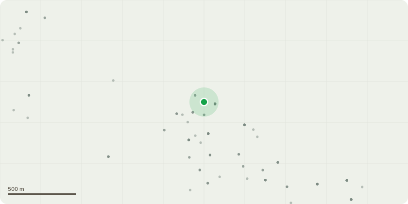
Approximate location
Proposal
T1; White Poplar (Populus alba) - Remove snapped hanging bough. Remove lowest bough extending over garden and nearly connecting with lawn. Deadwood.Reason: To make the tree safe and remove overloaded bough.T2 and T3; Sycamore (Acer pseudoplatanus) x 2 - Dismantle and replant with tree in keeping with area.Reason: Trees are casting excessive shade and encroaching garden.T4; Holm oak (Quercus ilex) - Reduce overall canopy approximately 25-30% (approximately as on attached picture).Reason: To provide arboricultural maintenance and manage the excessive shade.T5; Holm oak (Quercus ilex) - Reduce horizontal lower bough overhang approx. 2m to the tennis court.Reason: To reduce the encroachment.T6; Monterey cypress (Cuppresus macrocarpa) - Reduce horizontal lower bough overhang approx. 2m to the tennis court. Reason: To reduce the encroachment.G1; Group of Bay (Prunus nobilis) (from end of neighbours garage to the corner of tennis court) - Reduce trees to approximately 2-3M height.Reason: To reduce excessive shade and provide easier ongoing maintenance.
Key dates
- Received 17 Jul 2026
- Started 17 Jul 2026
Planning history / related applications
No related planning applications have been identified in the current public OGL dataset.
Inside plotEdge
Go beyond the public record
This page is the public OGL record. plotEdge adds the private intelligence layer for this site - open it in the app to unlock:
- Ownership & title Registered owner and title from HM Land Registry.
- Viability & build potential Site scoring and development upside.
- Constraints Flood risk, green belt, conservation areas and designations.
- Approval signal Planning risk and approval-likelihood analysis.
- Comparable applications Decisions on similar nearby sites, side by side.
- Status alerts Get notified the moment this application changes.
Source: public planning application data from Isle of Wight, reused under the Open Government Licence v3.0. View the council source record. Council documents and drawings are not republished on plotEdge.