Isle of Wight
Isle of Wight/26/00869/TW
5 St Boniface Terrace St Boniface Road Ventnor Isle Of Wight PO38 1PJ
- Reference
- Isle of Wight/26/00869/TW
- Authority
- Isle of Wight
- Application type
- TW
- Address
- 5 St Boniface Terrace St Boniface Road Ventnor Isle Of Wight PO38 1PJ
- Postcode
- PO38 1PJ
- Status
- Registered
- Received
- 25 Jun 2026
- Started
- 25 Jun 2026
- Source council
- Isle of Wight
- Council source record
- View public record
- Public data licence
- Open Government Licence v3.0
- Record updated
- 18 Jul 2026
- SEO index generated
- 24 Jul 2026
Location
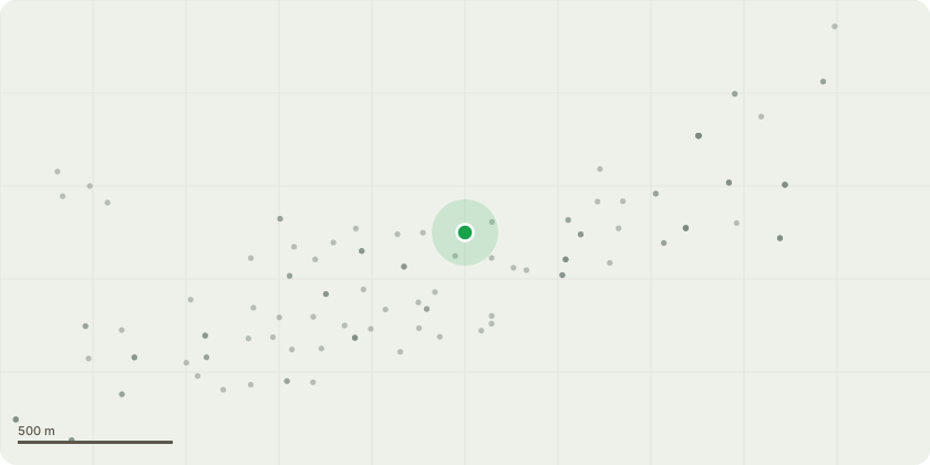
Approximate location
Proposal
Monolithic pollard: Sycamore (Acer pseudoplatanus), tree at very rear of back garden. Tree has sooty bark disease and has been dropping heavier and heavier branches onto the garden of 5 St Boniface Terrace, and neighbouring property over the course of several years. The tree is now a danger to life and to structures. The disease has spread upward from the lower, smaller branches to the split trunk, where it has consumed the right side, stripping bark and leaving the branches unable to bear leaves. The left side is not as badly affected, but the arborist (KC Tree Work & Fencing) advises the disease will spread and weaken these branches, making tree works dangerous as the branches will eventually not support ropes and equipment necessary to address. These left side branches are also above a summerhouse and will cause significant damage to property and people if left to perish and fall.
Key dates
- Received 25 Jun 2026
- Started 25 Jun 2026
Planning history / related applications
No related planning applications have been identified in the current public OGL dataset.
Inside plotEdge
Go beyond the public record
This page is the public OGL record. plotEdge adds the private intelligence layer for this site - open it in the app to unlock:
- Ownership & title Registered owner and title from HM Land Registry.
- Viability & build potential Site scoring and development upside.
- Constraints Flood risk, green belt, conservation areas and designations.
- Approval signal Planning risk and approval-likelihood analysis.
- Comparable applications Decisions on similar nearby sites, side by side.
- Status alerts Get notified the moment this application changes.
Source: public planning application data from Isle of Wight, reused under the Open Government Licence v3.0. View the council source record. Council documents and drawings are not republished on plotEdge.