Isle of Wight
Isle of Wight/26/00769/TW
Norton Grange Holiday Village Halletts Shute Yarmouth Isle Of Wight PO41 0SD
- Reference
- Isle of Wight/26/00769/TW
- Authority
- Isle of Wight
- Application type
- TW
- Address
- Norton Grange Holiday Village Halletts Shute Yarmouth Isle Of Wight PO41 0SD
- Postcode
- PO41 0SD
- Status
- Registered
- Received
- 4 Jun 2026
- Started
- 4 Jun 2026
- Source council
- Isle of Wight
- Council source record
- View public record
- Public data licence
- Open Government Licence v3.0
- Record updated
- 18 Jul 2026
- SEO index generated
- 24 Jul 2026
Location
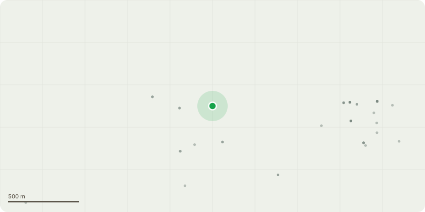
Approximate location
Proposal
24; Cabbage palm - Prune to Clear structure/wires/buildings by 1m - Prune to clear overhead lines by up to a metre.Reason: Clear structure/wires/buildings by 1m.69; Cherry plum - Fell to ground level (directional fell).Reason: In decline, phellinus pomaceus fruiting bodies on main limbs. Sterum fungi also noted.70; Willow species - Repollard back to previous pollard points.Reason: Prune back from buildings.73; Sycamore - Remove dead wood.102; Sycamore - Fell single dead codominant stem (directional fell).Reason: Stem has died.108; Sycamore - Dismantle to ground level and grind out stump.Reason: Multiple pruning wounds, bark delamination and decay on main stem.121; Sycamore - Dismantle to ground level and grind out stump.Reason: Sooty bark disease on main stem.150; Field Elm - Fell to ground Level (Directional Fell).Reason: Dead.153; Broad leaf privet - Prune to Clear structure/wires/buildings by 2m Prune to clear shed by 2m.Reason: To Clear structure/wires/buildings by 2m.156; Monterey cypress - Dismantle to ground level.Reason: Growing beneath canopy of larger neighbouring trees, bark delamination, localised decay at base and decay on main limbs.
Key dates
- Received 4 Jun 2026
- Started 4 Jun 2026
Planning history / related applications
No related planning applications have been identified in the current public OGL dataset.
Inside plotEdge
Go beyond the public record
This page is the public OGL record. plotEdge adds the private intelligence layer for this site - open it in the app to unlock:
- Ownership & title Registered owner and title from HM Land Registry.
- Viability & build potential Site scoring and development upside.
- Constraints Flood risk, green belt, conservation areas and designations.
- Approval signal Planning risk and approval-likelihood analysis.
- Comparable applications Decisions on similar nearby sites, side by side.
- Status alerts Get notified the moment this application changes.
Source: public planning application data from Isle of Wight, reused under the Open Government Licence v3.0. View the council source record. Council documents and drawings are not republished on plotEdge.