Isle of Wight
Isle of Wight/26/00692/TW
St Catherines School Grove Road Ventnor Isle Of Wight PO38 1TT
- Reference
- Isle of Wight/26/00692/TW
- Authority
- Isle of Wight
- Application type
- TW
- Address
- St Catherines School Grove Road Ventnor Isle Of Wight PO38 1TT
- Postcode
- PO38 1TT
- Status
- Registered
- Received
- 23 May 2026
- Started
- 23 May 2026
- Source council
- Isle of Wight
- Council source record
- View public record
- Public data licence
- Open Government Licence v3.0
- Record updated
- 18 Jul 2026
- SEO index generated
- 24 Jul 2026
Location
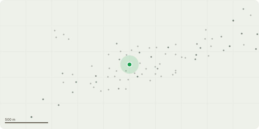
Approximate location
Proposal
TG1; Bay, holly, ash -Reduce all trees surrounding perimeter to manageable hedge height and remove failed, dangerous bay groups at ground level. Hedge finish height approximately 2m (or a height similar to the metal square mesh fencing); the exact height agreed prior to works commencing. Large ash tree - 30% crown reduction in the area overhanging the car park, in the NE corner, to rebalance due to previously failed branches. Remaining holly trees outside the reduced hedging area - Pollard at 4-5m. Coppice Bay trees on the south bankside to remove all collapsing trees, free the wire, and reset this unmanaged growth. This will remove weak stems, which will then regrow and can be managed at a more desirable height, making this area safe and easier to manage, allowing more light penetration and airflow to the buildings, hopefully aiding damp issues, and reducing abrasion on the entangled cables. Holly tree (at the base of the bankside) - Re-pollarded at previous points (4-5m).T1; Bay - Reduce to approximately 1.5m/manageable hedge height. Reason: Trees are making contact with the building. T2; Yew - Reduce to a 4-5m pollarded trunk section. Reason: Reduce the tree to a manageable size. Concerns regarding toxicity of the trees in an area that could pose a risk to vulnerable children eating tree material.Mixed hedging - consisting of bay, elder, and bramble (located immediately west of T2; Yew) - Reduce to approximately 1.5m/manageable hedge height.T3; Bay (multi-stem) - Fell at ground level.Reason: Due to basal decay.
Key dates
- Received 23 May 2026
- Started 23 May 2026
Planning history / related applications
No related planning applications have been identified in the current public OGL dataset.
Inside plotEdge
Go beyond the public record
This page is the public OGL record. plotEdge adds the private intelligence layer for this site - open it in the app to unlock:
- Ownership & title Registered owner and title from HM Land Registry.
- Viability & build potential Site scoring and development upside.
- Constraints Flood risk, green belt, conservation areas and designations.
- Approval signal Planning risk and approval-likelihood analysis.
- Comparable applications Decisions on similar nearby sites, side by side.
- Status alerts Get notified the moment this application changes.
Source: public planning application data from Isle of Wight, reused under the Open Government Licence v3.0. View the council source record. Council documents and drawings are not republished on plotEdge.