Isle of Wight
Isle of Wight/26/00524/TW
Puckaster Close Puckaster Lane Niton Ventnor Isle Of Wight PO38 2LZ
- Reference
- Isle of Wight/26/00524/TW
- Authority
- Isle of Wight
- Application type
- TW
- Address
- Puckaster Close Puckaster Lane Niton Ventnor Isle Of Wight PO38 2LZ
- Postcode
- PO38 2LZ
- Status
- Decided
- Decision
- Granted
- Received
- 17 Apr 2026
- Validated
- 17 Apr 2026
- Started
- 17 Apr 2026
- Decided
- 15 May 2026
- Source council
- Isle of Wight
- Council source record
- View public record
- Public data licence
- Open Government Licence v3.0
- Record updated
- 18 Jul 2026
- SEO index generated
- 24 Jul 2026
Location
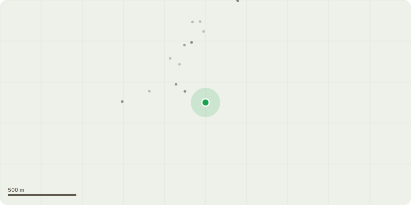
Approximate location
Proposal
10 Year Woodland Management Plan:Year 1 and 2:Remove elderberry, buddleia and bramble to gain accessibility and improve the potential of natural regeneration.Year 3, 4 and 5:Remove the debris, scrap metal and other waste from the area as well as invasive bamboo. This will make the area safer and again easier to access as well as improving the chance of natural regeneration. Remove the non native Cyprus trees.Year 6 and 7:Remove the remaining bamboo and other returning invasive plants. Identify trees from natural regeneration to be protected and weed around them, lifting and replanting those felt to be positioned better.Year 8, 9 and 10:Remove dead and dying dangerous trees. Continue to manage the woodland by removing invasive species as necessary.The woodland management plan's main objective is to remove invasive species that are limiting access to the woodland for assessment, management and limiting the chance of natural regeneration with in the woodland. The main invasive species to be removed are bramble, buddleia, elderberry and bamboo as well as the non native Cyprus trees. Once the woodland is accessible the debris and scrap metal in the woodland will be remove to further aid natural regeneration as well as making it safer to access and assess.
Key dates
- Received 17 Apr 2026
- Validated 17 Apr 2026
- Started 17 Apr 2026
- Decided 15 May 2026
Planning history / related applications
No related planning applications have been identified in the current public OGL dataset.
Inside plotEdge
Go beyond the public record
This page is the public OGL record. plotEdge adds the private intelligence layer for this site - open it in the app to unlock:
- Ownership & title Registered owner and title from HM Land Registry.
- Viability & build potential Site scoring and development upside.
- Constraints Flood risk, green belt, conservation areas and designations.
- Approval signal Planning risk and approval-likelihood analysis.
- Comparable applications Decisions on similar nearby sites, side by side.
- Status alerts Get notified the moment this application changes.
Source: public planning application data from Isle of Wight, reused under the Open Government Licence v3.0. View the council source record. Council documents and drawings are not republished on plotEdge.