Isle of Wight
Isle of Wight/26/00370/TW
31 Inglewood Park Ventnor Isle Of Wight PO38 1UX
- Reference
- Isle of Wight/26/00370/TW
- Authority
- Isle of Wight
- Application type
- TW
- Address
- 31 Inglewood Park Ventnor Isle Of Wight PO38 1UX
- Postcode
- PO38 1UX
- Status
- Decided
- Decision
- Granted
- Received
- 16 Mar 2026
- Validated
- 16 Mar 2026
- Started
- 16 Mar 2026
- Decided
- 22 Apr 2026
- Source council
- Isle of Wight
- Council source record
- View public record
- Public data licence
- Open Government Licence v3.0
- Record updated
- 18 Jul 2026
- SEO index generated
- 24 Jul 2026
Location
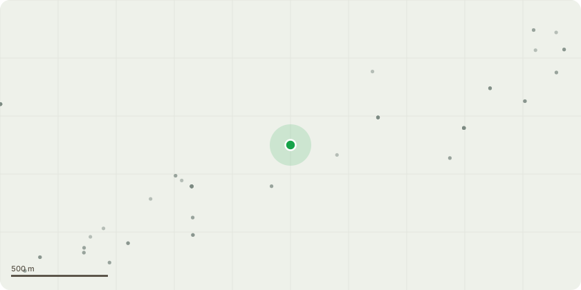
Approximate location
Proposal
Amendment received 21.03.2026:Tree Species: Cherry (Prunus spp.)1. Removal of Rear Central Stem ( S4) closest to read boundary fencing) dismantling and removal of the rear central stem due to poor structural condition and suppression from the forward stems and surrounding trees. The stem is currently heavily shaded and showing signs of decline, making it structurally inferior within the overall crown structure.2. Removal of Leaning Stem Over (S3) Neighbouring Property - Removal of the stem leaning significantly toward the neighbouring property. The lean and structural form present a potential risk of failure toward the neighbouring boundary, and removal is proposed to mitigate this risk.3. Remaining Front Co dominant Stems (S1 & S2) Approximately 25% lateral reduction to reduce spread and bring the crowns back within a more manageable form. Approximately 10% crown thinning to reduce density, improve light penetration and airflow.Reason for Works:Remove structurally compromised stems, mitigate risk to neighbouring property. Improve long-term structural balance of the tree and reduce crown weight and wind loading, Maintain tree health and safe ongoing management
Key dates
- Received 16 Mar 2026
- Validated 16 Mar 2026
- Started 16 Mar 2026
- Decided 22 Apr 2026
Planning history / related applications
No related planning applications have been identified in the current public OGL dataset.
Inside plotEdge
Go beyond the public record
This page is the public OGL record. plotEdge adds the private intelligence layer for this site - open it in the app to unlock:
- Ownership & title Registered owner and title from HM Land Registry.
- Viability & build potential Site scoring and development upside.
- Constraints Flood risk, green belt, conservation areas and designations.
- Approval signal Planning risk and approval-likelihood analysis.
- Comparable applications Decisions on similar nearby sites, side by side.
- Status alerts Get notified the moment this application changes.
Source: public planning application data from Isle of Wight, reused under the Open Government Licence v3.0. View the council source record. Council documents and drawings are not republished on plotEdge.