Isle of Wight
Isle of Wight/26/00368/TW
19 Orchard Road Shanklin Isle Of Wight PO37 7NX
- Reference
- Isle of Wight/26/00368/TW
- Authority
- Isle of Wight
- Application type
- TW
- Address
- 19 Orchard Road Shanklin Isle Of Wight PO37 7NX
- Postcode
- PO37 7NX
- Status
- Decided
- Decision
- Granted
- Received
- 16 Mar 2026
- Validated
- 16 Mar 2026
- Started
- 16 Mar 2026
- Decided
- 19 May 2026
- Source council
- Isle of Wight
- Council source record
- View public record
- Public data licence
- Open Government Licence v3.0
- Record updated
- 18 Jul 2026
- SEO index generated
- 24 Jul 2026
Location
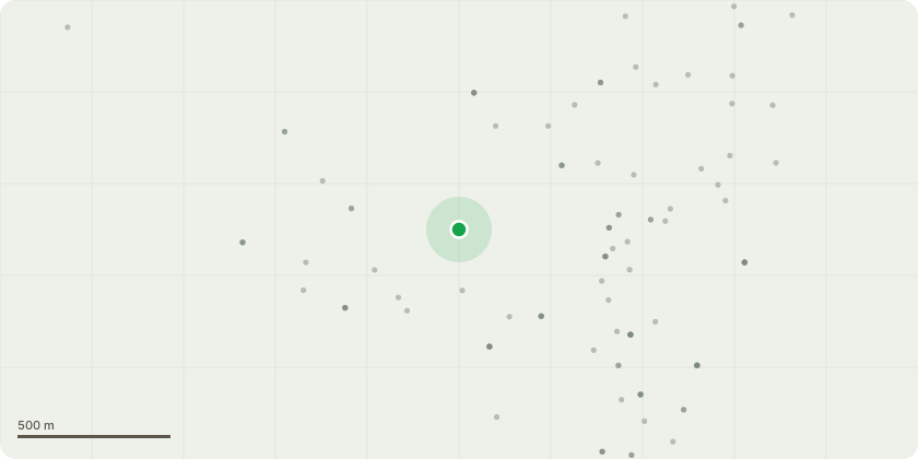
Approximate location
Proposal
Amendment to proposed works (13.05.2026):T1; Ash: Remove at ground level. Reason: The tree exhibits bark delamination and decay at the base, and it is currently leaning toward the neighbouring property to the southwestT2; Oak - Crown reduced by 30%. This includes reducing the overextended limbs to the southwest to balance the new crown form. Reason: Due to one-sided growth and the uphill position relative to the property. T3 Oak: Reduce the crown by 2-3m to strong growth points and crown lift by removing the lowest branch growing SW. We will also remove the two largest deadwood branches if they are found to be at risk of falling upon closer inspection. Reason: The tree appears to have sustained prior storm damage or significant pruning, with the current crown supported by a damaged area overhanging a seating area.TG4 Oak Group: Crown clean the remaining oak trees within the grounds of the property to remove visible hanging branches and larger deadwood.
Key dates
- Received 16 Mar 2026
- Validated 16 Mar 2026
- Started 16 Mar 2026
- Decided 19 May 2026
Planning history / related applications
No related planning applications have been identified in the current public OGL dataset.
Inside plotEdge
Go beyond the public record
This page is the public OGL record. plotEdge adds the private intelligence layer for this site - open it in the app to unlock:
- Ownership & title Registered owner and title from HM Land Registry.
- Viability & build potential Site scoring and development upside.
- Constraints Flood risk, green belt, conservation areas and designations.
- Approval signal Planning risk and approval-likelihood analysis.
- Comparable applications Decisions on similar nearby sites, side by side.
- Status alerts Get notified the moment this application changes.
Source: public planning application data from Isle of Wight, reused under the Open Government Licence v3.0. View the council source record. Council documents and drawings are not republished on plotEdge.