Isle of Wight
Isle of Wight/26/00277/TW
Heritage Centre Farringford Estate Bedbury Lane Freshwater Isle Of Wight PO40 9PE
- Reference
- Isle of Wight/26/00277/TW
- Authority
- Isle of Wight
- Application type
- TW
- Address
- Heritage Centre Farringford Estate Bedbury Lane Freshwater Isle Of Wight PO40 9PE
- Postcode
- PO40 9PE
- Status
- Decided
- Decision
- Granted
- Received
- 26 Feb 2026
- Validated
- 26 Feb 2026
- Started
- 26 Feb 2026
- Decided
- 13 Apr 2026
- Source council
- Isle of Wight
- Council source record
- View public record
- Public data licence
- Open Government Licence v3.0
- Record updated
- 18 Jul 2026
- SEO index generated
- 24 Jul 2026
Location
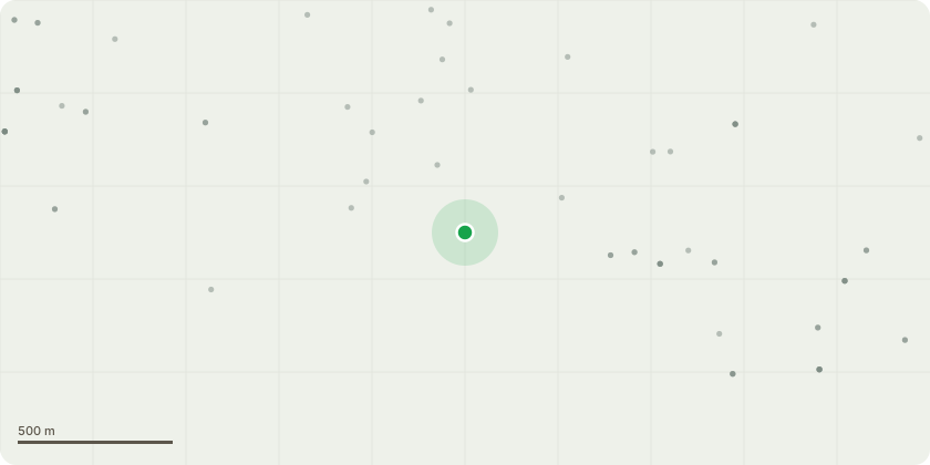
Approximate location
Proposal
Amendment to proposed works (received 13.03.2026):T1; Sycamore (on old driveway, currently used as footpath through estate). - Fell and remove.Reason: Extensive decay at the base, dieback in the crown.T2; Sycamore (multi stemmed at the edge of the woodland) - Fell and remove.Reason: Dead bark at ground level with signs of decay, sparse crown and weak unions. Has declined in the last 12 months.T3; Large sycamore - (located over bridge) - Fell and remove.Reason: Extensive decay at ground level to 1m. Large cavity. In vicinity of the public bridleway, is sheltered by other treesT4; Sycamore- (Near T3) - Fell.Reason: Small dead tree overhanging bridleway.T5; Sycamore (near Alfred cottage on the edge of the woodland) - Fell and remove.Reason: Decay at root collar, approximately 25% of the circumference. Within falling distance of the cottage.T6; Quercus ilex (edge of the woodland, under the canopy of larger Q. ilex) . Fell and removeReason: 45 degree lean, shear bomb crack at ground level.T7; Acer pseudoplatanus - Fell and remove.Reason: Extensive dieback and risk of falling on building.T8; Acer pseudoplatanus - Fell and remove.Reason: Dieback in crown, leaning over entrance road and potential for further decline.Due to the location of these trees there is no plan to plant with replacements but we are continually planting suitable species on the Estate as part of the restoration.
Key dates
- Received 26 Feb 2026
- Validated 26 Feb 2026
- Started 26 Feb 2026
- Decided 13 Apr 2026
Planning history / related applications
No related planning applications have been identified in the current public OGL dataset.
Inside plotEdge
Go beyond the public record
This page is the public OGL record. plotEdge adds the private intelligence layer for this site - open it in the app to unlock:
- Ownership & title Registered owner and title from HM Land Registry.
- Viability & build potential Site scoring and development upside.
- Constraints Flood risk, green belt, conservation areas and designations.
- Approval signal Planning risk and approval-likelihood analysis.
- Comparable applications Decisions on similar nearby sites, side by side.
- Status alerts Get notified the moment this application changes.
Source: public planning application data from Isle of Wight, reused under the Open Government Licence v3.0. View the council source record. Council documents and drawings are not republished on plotEdge.