Isle of Wight
Isle of Wight/25/01669/TW
68 Madeira Road Ventnor Isle Of Wight PO38 1QY
- Reference
- Isle of Wight/25/01669/TW
- Authority
- Isle of Wight
- Application type
- TW
- Address
- 68 Madeira Road Ventnor Isle Of Wight PO38 1QY
- Postcode
- PO38 1QY
- Status
- Unknown
- Decision
- No Objection
- Received
- 17 Nov 2025
- Validated
- 17 Nov 2025
- Started
- 17 Nov 2025
- Decided
- 13 Jan 2026
- Source council
- Isle of Wight
- Council source record
- View public record
- Public data licence
- Open Government Licence v3.0
- Record updated
- 18 Jul 2026
- SEO index generated
- 24 Jul 2026
Location
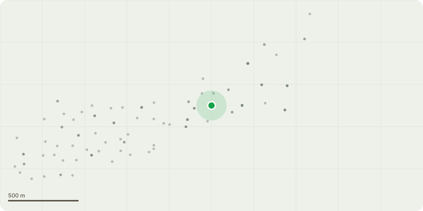
Approximate location
Proposal
TG1; Sycamores (12 Self-Set) - Remove at ground level: Reason: Concern if left to grow, the roots could interfere with the rock face's stability, and the area will be completely lost to the trees.T2; Holly - Reduce height by 1/3 and shape the remaining crown into a decorative "lollipop" form.T3; Holm Oak - Reduce height by 1/3 and shape the remaining crown into a decorative "lollipop" form.T4; Elm - Removal at ground level. Reason: Make space to retain the holly and holm oak in this area.T5 & T6; Ash (Both with Ash Dieback - ADB) - Crown reduction by 50%, focusing on removing dead branches and cutting back to living growth. Reason: Retain the trees for as long as possible. The objective is to reduce risks associated with deadwood falling.T7 & T8; Sycamore - Re-coppice. Reason: These trees have been coppiced previously, but are now towering over the neighbouring property and growing on the wall/rock face edge. To control the encroaching trees and their impact on properties below.T9; Ash - Removal at ground level. This tree has Ash Dieback (ADB), is ivy-clad, and is deemed of poor quality and unsuitable for long-term retention.T10; Sycamore - Remove the two stems growing in the most southern direction and cut back the remaining stems to the boundary line (as indicated in the attached photo).T11; Sycamore - Remove the most southern stems that are overhanging the property below (as indicated in the attached photo).
Key dates
- Received 17 Nov 2025
- Validated 17 Nov 2025
- Started 17 Nov 2025
- Decided 13 Jan 2026
Planning history / related applications
No related planning applications have been identified in the current public OGL dataset.
Inside plotEdge
Go beyond the public record
This page is the public OGL record. plotEdge adds the private intelligence layer for this site - open it in the app to unlock:
- Ownership & title Registered owner and title from HM Land Registry.
- Viability & build potential Site scoring and development upside.
- Constraints Flood risk, green belt, conservation areas and designations.
- Approval signal Planning risk and approval-likelihood analysis.
- Comparable applications Decisions on similar nearby sites, side by side.
- Status alerts Get notified the moment this application changes.
Source: public planning application data from Isle of Wight, reused under the Open Government Licence v3.0. View the council source record. Council documents and drawings are not republished on plotEdge.