Isle of Wight
Isle of Wight/25/01193/TW
East Cliff Love Lane Bembridge Isle Of Wight PO35 5NH
- Reference
- Isle of Wight/25/01193/TW
- Authority
- Isle of Wight
- Application type
- TW
- Address
- East Cliff Love Lane Bembridge Isle Of Wight PO35 5NH
- Postcode
- PO35 5NH
- Status
- Decided
- Decision
- Granted
- Received
- 19 Aug 2025
- Validated
- 2 Dec 2025
- Started
- 2 Dec 2025
- Decided
- 4 Mar 2026
- Source council
- Isle of Wight
- Council source record
- View public record
- Public data licence
- Open Government Licence v3.0
- Record updated
- 18 Jul 2026
- SEO index generated
- 24 Jul 2026
Location
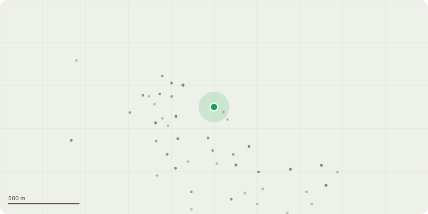
Approximate location
Proposal
This application includes trees covered by TPO and Conservation Area:T1; Sycamore per (photo 569) - Fell to ground, remove stump, replace with 2no Prunus incisa 'The Bride'.Reason: Reduce overcrowding.T2; Holm Oak - (photo 0570 and 0571) - Lift the crown (as per photos).Reason: Provide sufficient clearance to the slate roof below.T3 and T4; 2x young turkey oaks adjacent to each other - Fell to the ground and remove the stumps. Replace with similar in the wood to the east of the estate. Reason: Avoid losing view.T5; Deciduous magnolia - Reshape by reducing selective branches by approximately 2-3 metres. Reason: To achieve a more balanced and pleasing shape.T6; 8x Malus everest (front parking area) - Reduce and reshape by 1/3, every two years as a 10 year plan.T7; Small orchard near cliff:4x oversized Apple trees - Reduce and reshape to produce larger fruit. Approx 1/3 height reduction and 1/3 thin to each tree over 10yr period.3x Plum trees - Reduce and reshape to produce larger fruit. Approx 1/3 height reduction and 1/3 thin to each tree over 10yr period.1x Bramley apple tree - Remove. Grown too large and interfering with neighbouring apple trees either side.T8; Holm oak - Crown lift to 2.4m.Reason: To facilitate ride on mower.T9; Oak - Remove all major deadwood.Reason: Maintenance.
Key dates
- Received 19 Aug 2025
- Validated 2 Dec 2025
- Started 2 Dec 2025
- Decided 4 Mar 2026
Planning history / related applications
No related planning applications have been identified in the current public OGL dataset.
Inside plotEdge
Go beyond the public record
This page is the public OGL record. plotEdge adds the private intelligence layer for this site - open it in the app to unlock:
- Ownership & title Registered owner and title from HM Land Registry.
- Viability & build potential Site scoring and development upside.
- Constraints Flood risk, green belt, conservation areas and designations.
- Approval signal Planning risk and approval-likelihood analysis.
- Comparable applications Decisions on similar nearby sites, side by side.
- Status alerts Get notified the moment this application changes.
Source: public planning application data from Isle of Wight, reused under the Open Government Licence v3.0. View the council source record. Council documents and drawings are not republished on plotEdge.