Isle of Wight
Isle of Wight/24/01409/TW
Glenfield Court Whitcombe Road Newport Isle Of Wight PO30 1ED
- Reference
- Isle of Wight/24/01409/TW
- Authority
- Isle of Wight
- Application type
- TW
- Address
- Glenfield Court Whitcombe Road Newport Isle Of Wight PO30 1ED
- Postcode
- PO30 1ED
- Status
- Unknown
- Decision
- No Objection
- Received
- 16 Sept 2024
- Validated
- 16 Sept 2024
- Started
- 16 Sept 2024
- Decided
- 28 Oct 2024
- Source council
- Isle of Wight
- Council source record
- View public record
- Public data licence
- Open Government Licence v3.0
- Record updated
- 18 Jul 2026
- SEO index generated
- 24 Jul 2026
Location
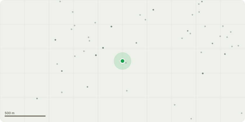
Approximate location
Proposal
T1 and T2; Reduce 2 x Sycamore(Acer Pseudoplatanus) approximately 10% T3 and T4; Reduce Sycamore(Acer Pseudoplatanus) and Beech(Fagus Sylvatica) approximately 25-30% T5,T6 and T7; Reduce 2 x Sycamore(Acer Pseudoplatanus) and Golden Chain Tree(Laburnum Anagyroides) approximately 20% T8; Dismantle dieback Ash(Fraxinus Excelsior) to near ground level T9 and T10; Dismantle Sycamore(Acer Pseudoplatanus) and Bay(Prunus Nobilis) T11 and T12; Cherry(Prunus Avium) x 2,Repollard as part of Arboricultural maintenance.T13; Reduce Multi stem Bay(Prunus Nobilis) to approximately 2M height and trim to reduce further encroachment and excessive shade.T14 and T15; Dismantle 2 x multi stem Ash(Fraxinus Excelsior) with Ash Dieback(Hymenoscyphus Fraxineus) G1; Reduce lower overhang (up to 6M height) to rear garden and property to mixed boundary vegetation including Horse Chestnut(Aesculus Hippocastanum), Elder(Sambucus Nigra), Bay(Prunus Nobilis) and Spindle Tree(Euonymus Japonicus).G2; Reduce Guelder Rose(Viburnum Opulus) hedge to approximately 1.5M and reduce width by approximately 60%
Key dates
- Received 16 Sept 2024
- Validated 16 Sept 2024
- Started 16 Sept 2024
- Decided 28 Oct 2024
Planning history / related applications
No related planning applications have been identified in the current public OGL dataset.
Inside plotEdge
Go beyond the public record
This page is the public OGL record. plotEdge adds the private intelligence layer for this site - open it in the app to unlock:
- Ownership & title Registered owner and title from HM Land Registry.
- Viability & build potential Site scoring and development upside.
- Constraints Flood risk, green belt, conservation areas and designations.
- Approval signal Planning risk and approval-likelihood analysis.
- Comparable applications Decisions on similar nearby sites, side by side.
- Status alerts Get notified the moment this application changes.
Source: public planning application data from Isle of Wight, reused under the Open Government Licence v3.0. View the council source record. Council documents and drawings are not republished on plotEdge.