Huntingdonshire
Huntingdonshire/25/01966/COA
Bedford Borough Council Borough Hall Cauldwell Street Bedford MK42 9AP
- Reference
- Huntingdonshire/25/01966/COA
- Authority
- Huntingdonshire
- Application type
- COA
- Address
- Bedford Borough Council Borough Hall Cauldwell Street Bedford MK42 9AP
- Postcode
- MK42 9AP
- Status
- In progress
- Received
- 25 Sept 2025
- Started
- 25 Sept 2025
- Source council
- Huntingdonshire
- Council source record
- View public record
- Public data licence
- Open Government Licence v3.0
- Record updated
- 18 Jul 2026
- SEO index generated
- 24 Jul 2026
Location
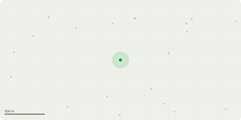
Approximate location
Proposal
Adjacent Parish Consultation from BBC - Request for Scoping Opinion in accordance with the Town and Country Planning(EIA) Regulations 2017 prior to the submission of a proposed hybrid application: (Mixed use development comprising up to 1,000 dwellings; a 2 form entry primary school including early years provision; 2no. watersports lakes with associatedinfrastructure including buildings and parking; up to 1,000sqm of retail floorspace (use class E(a)); a mobility hub; pedestrian and cycle routes including links to the existing network; open space including landscaping, habitat creation and play areas; highway accesses from A603; and all ancillary drainage and engineering works (outline planning application for phased development with all mattersreserved except means of vehicular access and design of watersports lakes) Land To The North Of Bedford Road Willington Bedfordshire
Key dates
- Received 25 Sept 2025
- Started 25 Sept 2025
Planning history / related applications
No related planning applications have been identified in the current public OGL dataset.
Inside plotEdge
Go beyond the public record
This page is the public OGL record. plotEdge adds the private intelligence layer for this site - open it in the app to unlock:
- Ownership & title Registered owner and title from HM Land Registry.
- Viability & build potential Site scoring and development upside.
- Constraints Flood risk, green belt, conservation areas and designations.
- Approval signal Planning risk and approval-likelihood analysis.
- Comparable applications Decisions on similar nearby sites, side by side.
- Status alerts Get notified the moment this application changes.
Source: public planning application data from Huntingdonshire, reused under the Open Government Licence v3.0. View the council source record. Council documents and drawings are not republished on plotEdge.