Huntingdonshire
Huntingdonshire/25/01411/CLPD
74 Queensway St Neots PE19 1EL
- Reference
- Huntingdonshire/25/01411/CLPD
- Authority
- Huntingdonshire
- Application type
- CLPD
- Address
- 74 Queensway St Neots PE19 1EL
- Postcode
- PE19 1EL
- Status
- Approved
- Received
- 28 Jul 2025
- Validated
- 30 Aug 2025
- Started
- 30 Aug 2025
- Decided
- 24 Oct 2025
- Source council
- Huntingdonshire
- Council source record
- View public record
- Public data licence
- Open Government Licence v3.0
- Record updated
- 18 Jul 2026
- SEO index generated
- 24 Jul 2026
Location
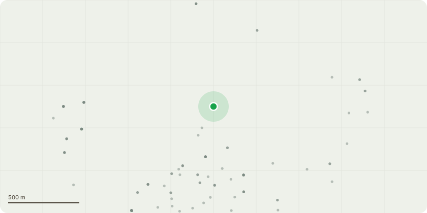
Approximate location
Proposal
Application for a Lawful Development Certificate for a Proposed ancillary outbuilding to rear to be used as a personal officeThe outbuilding will be sited in the rear south-east corner of the plot, positioned within 1 metre of the boundary. The structure will have an L-shaped footprint, with the rear wall measuring 4 metres in width, the right-hand side wall extending 4 metres in depth, and the left-hand side wall extending 3.1 metres in depth. The recessed section of the L-shape will measure approximately 90cm deep by 225cm wide. The total footprint of the building will be approximately 13.975 square metres. The maximum overall height of the building will be 2.4 metres from the existing ground level.The structure will be supported by 12 ground screws (76mm diameter x 1250mm length), which will form the foundation for a raised timber sub-frame. No additional hardstanding beyond the footprint of the building is proposed.The building will be constructed using timber framing. The boundary-facing elevations will be clad in fire-rated materials in accordance with Building Regulations for proximity to boundaries, while the remaining elevations will be clad in either timber or composite panels.Electricity will be supplied via an underground cable run from the main house to the outbuilding, installed in accordance with current electrical safety standards. There is no connection to mains water or drainage. Rainwater runoff will be managed by guttering and downpipes feeding into a water butt, with overflow directed to an existing garden soakaway or other permeable drainage system.There are no proposals to alter or create any new access points, lay out new streets, or erect new means of enclosure. All proposed dimensions, siting, and layout have been clearly indicated on the accompanying site and block plans.
Key dates
- Received 28 Jul 2025
- Validated 30 Aug 2025
- Started 30 Aug 2025
- Decided 24 Oct 2025
Planning history / related applications
No related planning applications have been identified in the current public OGL dataset.
Inside plotEdge
Go beyond the public record
This page is the public OGL record. plotEdge adds the private intelligence layer for this site - open it in the app to unlock:
- Ownership & title Registered owner and title from HM Land Registry.
- Viability & build potential Site scoring and development upside.
- Constraints Flood risk, green belt, conservation areas and designations.
- Approval signal Planning risk and approval-likelihood analysis.
- Comparable applications Decisions on similar nearby sites, side by side.
- Status alerts Get notified the moment this application changes.
Source: public planning application data from Huntingdonshire, reused under the Open Government Licence v3.0. View the council source record. Council documents and drawings are not republished on plotEdge.