Huntingdonshire
Huntingdonshire/25/00971/TRCA
3 Rectory Lane Wyton Huntingdon PE28 2AQ
- Reference
- Huntingdonshire/25/00971/TRCA
- Authority
- Huntingdonshire
- Application type
- TRCA
- Address
- 3 Rectory Lane Wyton Huntingdon PE28 2AQ
- Postcode
- PE28 2AQ
- Status
- Approved
- Received
- 28 May 2025
- Validated
- 28 May 2025
- Started
- 28 May 2025
- Decided
- 24 Jun 2025
- Source council
- Huntingdonshire
- Council source record
- View public record
- Public data licence
- Open Government Licence v3.0
- Record updated
- 18 Jul 2026
- SEO index generated
- 24 Jul 2026
Location
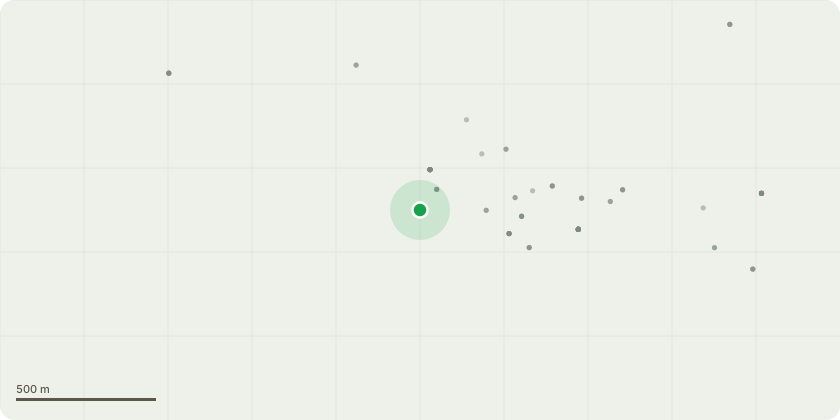
Approximate location
Proposal
T1 (Hornbeam) - Crown lift over road to 5m, remove major dead wood, dead and live ivy, clear telephone wire by 1m. (Front left hand side boundary adjacent to wall, 1.5 m from road edge, has been ivy covered but now severed. New ivy has grown to 2.4 m; large old ivy stems still hanging on areas of upper crown, in many cases above the road, if left, these will fall. Low crown over roadway, phone line running through crown from opposite property, dead wood over road.) T3 (Sycamore) - Remove dead wood, remove dead ivy including the infected ivy at base. (Situated on left hand side of driveway 1.5m from edge. The tree has been covered by significant ivy stems up to 80mm; the ivy has been removed from 1.5m to 7m; the remaining ivy at base is infected with Honey Fungus. Rhizomorphs have penetrated outer bark of the tree; again, dead ivy and dead wood throughout the crown, much of which is over or within reach of the road. T5 (Apple) - Prune to previous pruning points to clear BT line. (2m from drive, heavy lean to east towards house BT line running through upper crown)
Key dates
- Received 28 May 2025
- Validated 28 May 2025
- Started 28 May 2025
- Decided 24 Jun 2025
Planning history / related applications
No related planning applications have been identified in the current public OGL dataset.
Inside plotEdge
Go beyond the public record
This page is the public OGL record. plotEdge adds the private intelligence layer for this site - open it in the app to unlock:
- Ownership & title Registered owner and title from HM Land Registry.
- Viability & build potential Site scoring and development upside.
- Constraints Flood risk, green belt, conservation areas and designations.
- Approval signal Planning risk and approval-likelihood analysis.
- Comparable applications Decisions on similar nearby sites, side by side.
- Status alerts Get notified the moment this application changes.
Source: public planning application data from Huntingdonshire, reused under the Open Government Licence v3.0. View the council source record. Council documents and drawings are not republished on plotEdge.