Huntingdonshire
Huntingdonshire/24/01395/TREE
Redwoods The Green Hilton Huntingdon PE28 9NA
- Reference
- Huntingdonshire/24/01395/TREE
- Authority
- Huntingdonshire
- Application type
- TREE
- Address
- Redwoods The Green Hilton Huntingdon PE28 9NA
- Postcode
- PE28 9NA
- Status
- Approved
- Received
- 6 Aug 2024
- Validated
- 19 Aug 2024
- Started
- 19 Aug 2024
- Decided
- 22 Oct 2024
- Source council
- Huntingdonshire
- Council source record
- View public record
- Public data licence
- Open Government Licence v3.0
- Record updated
- 18 Jul 2026
- SEO index generated
- 24 Jul 2026
Location
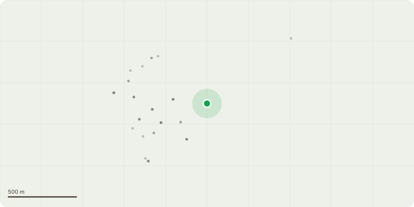
Approximate location
Proposal
The copper beech is restricting light to the most southerly redwood. It is noticeable this redwood is starting to go brown and lose its foliage on its south side especially at the bottom, due to a lack of light caused from the copper beech. This redwood also has a lean to the north where it is competing for light against another very mature redwood. The ground has been disturbed by the lean and the copper beech restricting light to the redwood. Remove two of the copper beeches northerly lower branches which are causing the most light blockage, raising the crown by 1-2m on the copper beech on that side. These branches are approximately 5m from the ground at the trunk. Also, request is to trim, but not remove, some of the additional higher northern pointing copper beeches branches which are restricting light to the redwood. Trim to several branches of c.4-7ft trim on branches up to 10m from the ground. It is causing other trees around it to compete for light, increasing the amount of lower deadwood on the surrounding trees including other TPO trees. To protect the health of the nearest redwood and to prevent and further change to the lean of the redwood, promoting redwood growth through more light.
Key dates
- Received 6 Aug 2024
- Validated 19 Aug 2024
- Started 19 Aug 2024
- Decided 22 Oct 2024
Planning history / related applications
No related planning applications have been identified in the current public OGL dataset.
Inside plotEdge
Go beyond the public record
This page is the public OGL record. plotEdge adds the private intelligence layer for this site - open it in the app to unlock:
- Ownership & title Registered owner and title from HM Land Registry.
- Viability & build potential Site scoring and development upside.
- Constraints Flood risk, green belt, conservation areas and designations.
- Approval signal Planning risk and approval-likelihood analysis.
- Comparable applications Decisions on similar nearby sites, side by side.
- Status alerts Get notified the moment this application changes.
Source: public planning application data from Huntingdonshire, reused under the Open Government Licence v3.0. View the council source record. Council documents and drawings are not republished on plotEdge.