Hounslow
Hounslow/P/2025/1988
The St Michael Steiner School, Fortesque House Park Road, Feltham, TW13 6PN
- Reference
- Hounslow/P/2025/1988
- Authority
- Hounslow
- Address
- The St Michael Steiner School, Fortesque House Park Road, Feltham, TW13 6PN
- Postcode
- TW13 6PN
- Received
- 26 Jun 2025
- Started
- 26 Jun 2025
- Decided
- 6 Aug 2025
- Source council
- Hounslow
- Council source record
- View public record
- Public data licence
- Open Government Licence v3.0
- Record updated
- 14 Jul 2026
- SEO index generated
- 24 Jul 2026
Location
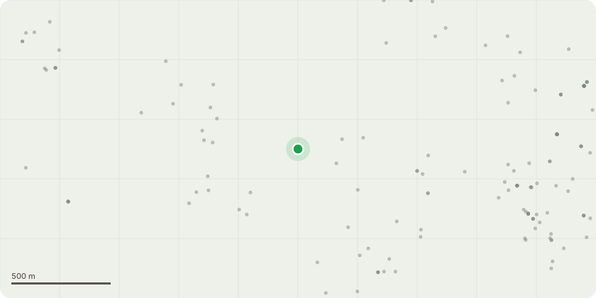
Approximate location
Proposal
Works to various trees within a conservation area – G001 Dutch elm x3 (Ulmus hollandica) - Fell in sections to ground level. G002 Mixed species (Mixed species) - Crown lift over playground area to 2.5m only. G005 Mixed species (Mixed species) - Remove all dead trees and cut up fallen trees to clear pathways/tracks. G006 Mixed species (Mixed species) - Remove dead Elms in group. G009 Mixed species (Mixed species) - Coppice the 2 Lilca's at just above ground level to invigorate growth. T003 Common lime(Tilia x vulgaris) - Crown lift all round to 3m and re-tie rope swings. Reduce crown back to previous points of reduction, approximately 2.5m. T011 Common holly (Ilex aquifolium) - Crown lift all round to 3m. T018 Common holly(Ilex aquifolium) - Crown lift over footpath to 2.5m. T019 Yew (Taxus sp.) - Prune to clear building by 1.5m and trim to balance. T021 Bay tree (Laurus nobilis) - Remove 2 large dead stems in centre of tree. Plus 2 stems/branches over field. T023 Wellingtonia (Sequo... read more
Key dates
- Received 26 Jun 2025
- Started 26 Jun 2025
- Decided 6 Aug 2025
Planning history / related applications
No related planning applications have been identified in the current public OGL dataset.
Inside plotEdge
Go beyond the public record
This page is the public OGL record. plotEdge adds the private intelligence layer for this site - open it in the app to unlock:
- Ownership & title Registered owner and title from HM Land Registry.
- Viability & build potential Site scoring and development upside.
- Constraints Flood risk, green belt, conservation areas and designations.
- Approval signal Planning risk and approval-likelihood analysis.
- Comparable applications Decisions on similar nearby sites, side by side.
- Status alerts Get notified the moment this application changes.
Source: public planning application data from Hounslow, reused under the Open Government Licence v3.0. View the council source record. Council documents and drawings are not republished on plotEdge.