Hillingdon
Hillingdon/76795/APP/2025/1597
LAND AT YIEWSLEY LIBRARY & FORMER YIEWSLEY POOL FALLING LANE OTTERFIELD ROAD YIEWSLEY UB7 8AB
- Reference
- Hillingdon/76795/APP/2025/1597
- Authority
- Hillingdon
- Application type
- Full
- Address
- LAND AT YIEWSLEY LIBRARY & FORMER YIEWSLEY POOL FALLING LANE OTTERFIELD ROAD YIEWSLEY UB7 8AB
- Postcode
- UB7 8AB
- Status
- Approval
- Received
- 9 Jun 2025
- Started
- 9 Jun 2025
- Decided
- 1 Oct 2025
- Source council
- Hillingdon
- Council source record
- View public record
- Public data licence
- Open Government Licence v3.0
- Record updated
- 12 Jul 2026
- SEO index generated
- 24 Jul 2026
Location
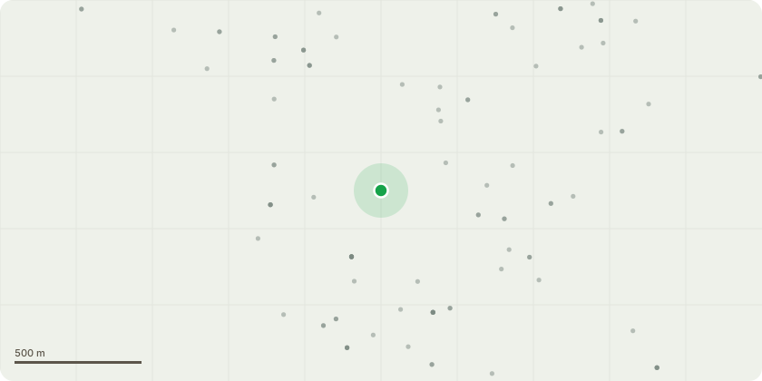
Approximate location
Proposal
Non-Material Amendment (S96a) to vary Condition 2 (Approved Plans) of planning permission ref. 76795/APP/2023/2503, dated 02-09-2024 "(Formal Description: Demolition of existing Yiewsley Library Building and the erection of a new residential building on the Yiewsley Library site (Falling Lane) and the erection of a new mixed use building on the former Yiewsley Swimming Pool site (Otterfield Road), with a replacement library at ground floor level, residential uses above and new pedestrian access off of the High Street. Detailed Description: Demolition of existing Yiewsley Library Building and the erection of a 5-storey residential building, comprising 50 dwellings, with 28 undercroft parking spaces (13 for residential and 15 for use by Rabbsfarm Primary School). The Otterfield Road site proposes the erection of a 5-storey building, comprising 45 dwellings, with 25 car parking spaces (23 for residential and 2 for library users)." The NMA seeks consent for the following amendments: - Alterations to the design of the stair and lift core layouts and service provision; - The plant room / substation extension necessitated by statutory supplier demands requiring minor amendments to the layout of the scheme and the parking to accommodate the change; - The changes to site levels require a small increase in the height of the building; - Additional shutters have been added and some bris soleil removed; - Minor amendments to boundary treatments.
Key dates
- Received 9 Jun 2025
- Started 9 Jun 2025
- Decided 1 Oct 2025
Planning history / related applications
No related planning applications have been identified in the current public OGL dataset.
Inside plotEdge
Go beyond the public record
This page is the public OGL record. plotEdge adds the private intelligence layer for this site - open it in the app to unlock:
- Ownership & title Registered owner and title from HM Land Registry.
- Viability & build potential Site scoring and development upside.
- Constraints Flood risk, green belt, conservation areas and designations.
- Approval signal Planning risk and approval-likelihood analysis.
- Comparable applications Decisions on similar nearby sites, side by side.
- Status alerts Get notified the moment this application changes.
Source: public planning application data from Hillingdon, reused under the Open Government Licence v3.0. View the council source record. Council documents and drawings are not republished on plotEdge.