Hillingdon
Hillingdon/75111/APP/2024/3327
Land at Bulls Bridge Industrial Estate NORTH HYDE GARDENS HAYES UB3 4QQ
- Reference
- Hillingdon/75111/APP/2024/3327
- Authority
- Hillingdon
- Application type
- Full
- Address
- Land at Bulls Bridge Industrial Estate NORTH HYDE GARDENS HAYES UB3 4QQ
- Postcode
- UB3 4QQ
- Status
- Approval
- Received
- 20 Dec 2024
- Started
- 20 Dec 2024
- Decided
- 1 May 2025
- Source council
- Hillingdon
- Council source record
- View public record
- Public data licence
- Open Government Licence v3.0
- Record updated
- 12 Jul 2026
- SEO index generated
- 24 Jul 2026
Location
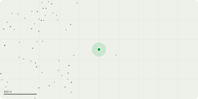
Approximate location
Proposal
Section 96a application for Non-Material Amendment to planning permission reference 75111/APP/2020/1955, dated 15-04-2021 (Site clearance and preparation, including the demolition of remaining buildings, and the redevelopment of the site to provide: a new data centre (Use Class B8), two MV Energy Centres (including stand-by generation plant and gas storage), a HV Sub-Station, a visitor reception centre, plant, the creation of a new footpath and cycleway link to the canal towpath, works to the highway, car parking, cycle parking, associated infrastructure, enclosures and necessary physical security systems, hard and soft landscaping (including works to the River Crane) and ancillary uses, as well as associated external works (as amended by NMA application references 75111/APP/2021/1601 dated 28/05/21, 75111/APP/2021/3607 dated 20/10/21, 75111/APP/2022/2049 dated 10-08-22, 75111/APP/2022/3012 dated 21/11/22, 75111/APP/2023/3024 dated 30/10/23, and 75111/APP/2023/3071 dated 23/11/23) to amend Condition 2 (Accordance with Approved Plans), including amendments to Data Centre Blocks 2 and 3.
Key dates
- Received 20 Dec 2024
- Started 20 Dec 2024
- Decided 1 May 2025
Planning history / related applications
No related planning applications have been identified in the current public OGL dataset.
Inside plotEdge
Go beyond the public record
This page is the public OGL record. plotEdge adds the private intelligence layer for this site - open it in the app to unlock:
- Ownership & title Registered owner and title from HM Land Registry.
- Viability & build potential Site scoring and development upside.
- Constraints Flood risk, green belt, conservation areas and designations.
- Approval signal Planning risk and approval-likelihood analysis.
- Comparable applications Decisions on similar nearby sites, side by side.
- Status alerts Get notified the moment this application changes.
Source: public planning application data from Hillingdon, reused under the Open Government Licence v3.0. View the council source record. Council documents and drawings are not republished on plotEdge.