Hillingdon
Hillingdon/45200/APP/2024/2211
SITE ENCLOSED BY BENTINCK ROAD & TAVISTOCK ROAD TAVISTOCK ROAD YIEWSLEY UB7 7RQ
- Reference
- Hillingdon/45200/APP/2024/2211
- Authority
- Hillingdon
- Application type
- Full
- Address
- SITE ENCLOSED BY BENTINCK ROAD & TAVISTOCK ROAD TAVISTOCK ROAD YIEWSLEY UB7 7RQ
- Postcode
- UB7 7RQ
- Status
- Approval
- Received
- 15 Aug 2024
- Started
- 15 Aug 2024
- Decided
- 18 Oct 2024
- Source council
- Hillingdon
- Council source record
- View public record
- Public data licence
- Open Government Licence v3.0
- Record updated
- 12 Jul 2026
- SEO index generated
- 24 Jul 2026
Location
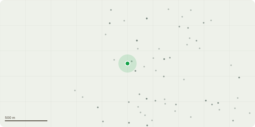
Approximate location
Proposal
Non-material amendment to planning permission reference 45200/APP/2020/2603, dated 12.01.2021, for the 'Variation of Conditions 4 (phasing drawings) and 20 (car parking) 45200/APP/2017/327 (12/10/2017) for "Variation of Condition 2 (accordance with approved plans) of planning permission ref: 45200/APP/2016/3886 dated 25-01-2017: Variation of conditions 2 (accordance with approved plans), 15 (pedestrian link) and 23 (car parking stackers) of planning permission ref: 45200/APP/2014/3638 dated 10-12-2015: Demolition of all existing buildings on the site enclosed by Bentinck Road and Tavistock Road (as shown outlined in red on the submitted application site plan) including Globe House, Globe Court, Padcroft Works, the former Dairy Crest dairy and TiGi Warehouse and comprehensive redevelopment to provide three buildings rising from three to eight storeys comprising 308 residential units, 175 sqm of Class B1 floorspace, public and private amenity space, hard and soft landscaping and lower ground floor parking space for 293 vehicles, to allow the addition of 7 residential units within the approved floorspace"; namely to reduce the number of car parking spaces from 299 spaces to 282 spaces (net decrease of 17 spaces).' Amendment seeking to retain an external wall between the basement access ramp and the central courtyard.
Key dates
- Received 15 Aug 2024
- Started 15 Aug 2024
- Decided 18 Oct 2024
Planning history / related applications
No related planning applications have been identified in the current public OGL dataset.
Inside plotEdge
Go beyond the public record
This page is the public OGL record. plotEdge adds the private intelligence layer for this site - open it in the app to unlock:
- Ownership & title Registered owner and title from HM Land Registry.
- Viability & build potential Site scoring and development upside.
- Constraints Flood risk, green belt, conservation areas and designations.
- Approval signal Planning risk and approval-likelihood analysis.
- Comparable applications Decisions on similar nearby sites, side by side.
- Status alerts Get notified the moment this application changes.
Source: public planning application data from Hillingdon, reused under the Open Government Licence v3.0. View the council source record. Council documents and drawings are not republished on plotEdge.