High Peak
High Peak/HPK/2025/0098
Buxton Railway Station , Station Road , Buxton , Derbyshire , SK17 6AQ
- Reference
- High Peak/HPK/2025/0098
- Authority
- High Peak
- Address
- Buxton Railway Station , Station Road , Buxton , Derbyshire , SK17 6AQ
- Postcode
- SK17 6AQ
- Status
- LB-APP
- Decision
- Listed Building Consent - Approved
- Received
- 18 Mar 2025
- Started
- 18 Mar 2025
- Decided
- 16 May 2025
- Source council
- High Peak
- Council source record
- View public record
- Public data licence
- Open Government Licence v3.0
- Record updated
- 12 Jul 2026
- SEO index generated
- 24 Jul 2026
Location
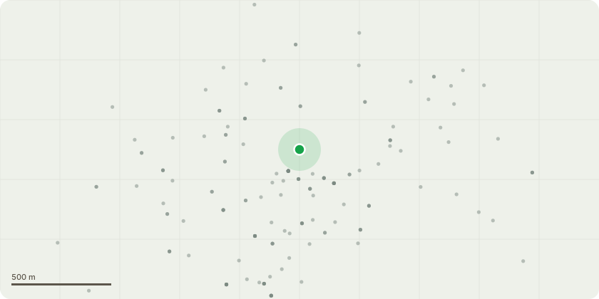
Approximate location
Proposal
Application for listed building consent for partially taking down and reconstruct the top five courses of the southern return wall (approx eight linear metres) and take down and reconstruct leaning masonry piers. Remove and re-bed coping stones and one course of stonework to the northern return wall with associated limited repointing works below to the station side. Removal of redundant fittings including sodium discharge light fittings and associated cabling, removal of a redundant gas supply pipe, removal of former fuel pipework on gallows brackets, removal of other redundant electrical cabling. In connection with these aspects, minor tidying and re-routing of remaining live electrical cabling feeding the wider station buildings. Repositioning of water pipe currently clipped to fuel pipework.
Key dates
- Received 18 Mar 2025
- Started 18 Mar 2025
- Decided 16 May 2025
Planning history / related applications
No related planning applications have been identified in the current public OGL dataset.
Inside plotEdge
Go beyond the public record
This page is the public OGL record. plotEdge adds the private intelligence layer for this site - open it in the app to unlock:
- Ownership & title Registered owner and title from HM Land Registry.
- Viability & build potential Site scoring and development upside.
- Constraints Flood risk, green belt, conservation areas and designations.
- Approval signal Planning risk and approval-likelihood analysis.
- Comparable applications Decisions on similar nearby sites, side by side.
- Status alerts Get notified the moment this application changes.
Source: public planning application data from High Peak, reused under the Open Government Licence v3.0. View the council source record. Council documents and drawings are not republished on plotEdge.