Hart
Hart/25/00618/NMMA
Moss Alrune Thackhams Lane Hartley Wintney Hook RG27 8HP
- Reference
- Hart/25/00618/NMMA
- Authority
- Hart
- Application type
- NMMA
- Address
- Moss Alrune Thackhams Lane Hartley Wintney Hook RG27 8HP
- Postcode
- RG27 8HP
- Status
- Grant
- Decision
- Grant
- Received
- 1 Apr 2025
- Validated
- 1 Apr 2025
- Started
- 1 Apr 2025
- Decided
- 1 May 2025
- Source council
- Hart
- Council source record
- View public record
- Public data licence
- Open Government Licence v3.0
- Record updated
- 18 Jul 2026
- SEO index generated
- 24 Jul 2026
Location
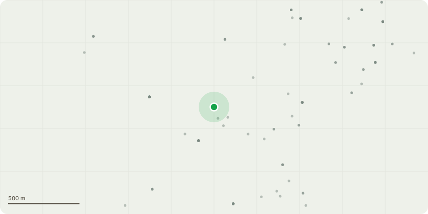
Approximate location
Proposal
Non material minor amendment (Section 96A application) to change the location and orientation of the swimming pool resulting in changes to the hard and soft landscaping pursuant to 22/02612/FUL Construction of a detached four-bedroom dwelling, garage and workshop, pool house, creation of external swimming pool, drive and associated landscaping.Amendments proposed:- Swimming pool dimensions to vary (increase in length by 2.4m to 14.7m and reduction in depth by 1.2m to 6.6m).- Rotation of swimming pool by 90 degrees (long sides of swimming pool facing north/south).- Reposition of swimming pool ( due also to rotation) to be, on average, 26.4m from eastern side boundary (instead of 17.50), 24.8m from western side boundary (instead of 40.20m) and 17.6m from the rear most elevation of the house (instead of 6.9m).- Repositioning of pool house 1.55m further west (more central into the site). - Replacement of hardstanding around swimming pool with planting beds.- Repositioning of hardstanding walkway to rear of house and provision of two walkways to connect the pool house to rear house patio.- Swimming pool to be changed to a natural swimming pool or swimming pond (relying in natural filtration system using plants and other ecological components to maintain water quality instead of relying on chlorine or other chemicals).- Alteration to path and width of soft landscape orchid area to the west of the property.
Key dates
- Received 1 Apr 2025
- Validated 1 Apr 2025
- Started 1 Apr 2025
- Decided 1 May 2025
Planning history / related applications
No related planning applications have been identified in the current public OGL dataset.
Inside plotEdge
Go beyond the public record
This page is the public OGL record. plotEdge adds the private intelligence layer for this site - open it in the app to unlock:
- Ownership & title Registered owner and title from HM Land Registry.
- Viability & build potential Site scoring and development upside.
- Constraints Flood risk, green belt, conservation areas and designations.
- Approval signal Planning risk and approval-likelihood analysis.
- Comparable applications Decisions on similar nearby sites, side by side.
- Status alerts Get notified the moment this application changes.
Source: public planning application data from Hart, reused under the Open Government Licence v3.0. View the council source record. Council documents and drawings are not republished on plotEdge.