Hart
Hart/24/02473/AMCON
Chosley Farm Bidden Road North Warnborough Hook Hampshire RG29 1BW
- Reference
- Hart/24/02473/AMCON
- Authority
- Hart
- Application type
- AMCON
- Address
- Chosley Farm Bidden Road North Warnborough Hook Hampshire RG29 1BW
- Postcode
- RG29 1BW
- Status
- Grant
- Decision
- Grant
- Received
- 20 Dec 2024
- Validated
- 20 Dec 2024
- Started
- 20 Dec 2024
- Decided
- 28 Mar 2025
- Source council
- Hart
- Council source record
- View public record
- Public data licence
- Open Government Licence v3.0
- Record updated
- 18 Jul 2026
- SEO index generated
- 24 Jul 2026
Location
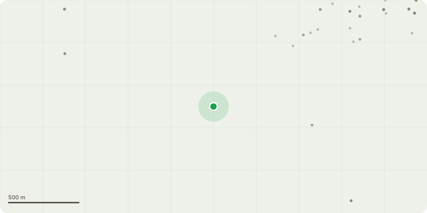
Approximate location
Proposal
Section 73 application to vary condition 2 (approved plans) attached to Planning Permission (ref: 20/03185/FUL) dated 11/11/2021 for a Solar Photovoltaic Farm with an output capacity not to exceed 49.9MW of energy, with associated battery storage and supporting infrastructure including inverters and a transformer, fencing, CCTV installation and landscaping works.The amendments sought are:- Additional vehicle entrance at the south east corner of the site (from Alton Road) through to Biden Road.- Consolidation of the battery storage containers and inverters into one location in the south eastern field. - 3.5m height acoustic fence around the switchgear compound. - Altering the panel layout and spacings to account for topography and an increased buffer zone (panel free area) around the existing farm. - Omitting areas of panels from two north-western fields. - Minor realigning of vehicular trackways and turning areas within the site. - South boundary of site supplemented with a fast-screening landscape mix.
Key dates
- Received 20 Dec 2024
- Validated 20 Dec 2024
- Started 20 Dec 2024
- Decided 28 Mar 2025
Planning history / related applications
No related planning applications have been identified in the current public OGL dataset.
Inside plotEdge
Go beyond the public record
This page is the public OGL record. plotEdge adds the private intelligence layer for this site - open it in the app to unlock:
- Ownership & title Registered owner and title from HM Land Registry.
- Viability & build potential Site scoring and development upside.
- Constraints Flood risk, green belt, conservation areas and designations.
- Approval signal Planning risk and approval-likelihood analysis.
- Comparable applications Decisions on similar nearby sites, side by side.
- Status alerts Get notified the moment this application changes.
Source: public planning application data from Hart, reused under the Open Government Licence v3.0. View the council source record. Council documents and drawings are not republished on plotEdge.