Harrow
Harrow/PL/1047/26
5 High Street, Harrow, HA1 3HP
- Reference
- Harrow/PL/1047/26
- Authority
- Harrow
- Application type
- Approval of Details Reserved by Condition
- Address
- 5 High Street, Harrow, HA1 3HP
- Postcode
- HA1 3HP
- Status
- Approval of Details Granted
- Decision
- Approval of Details Granted
- Received
- 5 Jul 2026
- Started
- 5 Jul 2026
- Source council
- Harrow
- Council source record
- View public record
- Public data licence
- Open Government Licence v3.0
- Record updated
- 18 Jul 2026
- SEO index generated
- 24 Jul 2026
Location
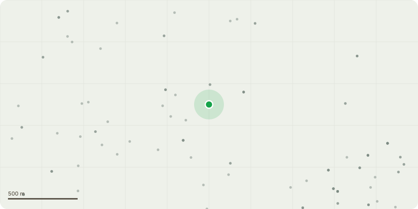
Approximate location
Proposal
Details pursuant to condition 5 (demolition and construction management plan) attached to planning permission P/1940/16 allowed on appeal reference APP/M5450/W/18/3208434 dated 31/10/2019 for demolition of existing buildings: existing sports building, peel house, museum cottage, gardeners compound, boyer webb pavilion, pavilion next to the athletics track; construction of new sports building over 3 levels (7269 sqm); new science building over 3 levels (3675 sqm); new landscaping core from existing chapel terrace to the athletics track at the base of hill; new visitors car parking on football lane adjacent to maths and physics school buildings; rerouting and re-grading of private access road; alterations to landscaping and servicing for dining hall; relocation of multi use games area for moretons boarding house to south west of dining hall (updated metropolitan open land approach statement and revised community uses agreement submitted)
Key dates
- Received 5 Jul 2026
- Started 5 Jul 2026
Planning history / related applications
No related planning applications have been identified in the current public OGL dataset.
Inside plotEdge
Go beyond the public record
This page is the public OGL record. plotEdge adds the private intelligence layer for this site - open it in the app to unlock:
- Ownership & title Registered owner and title from HM Land Registry.
- Viability & build potential Site scoring and development upside.
- Constraints Flood risk, green belt, conservation areas and designations.
- Approval signal Planning risk and approval-likelihood analysis.
- Comparable applications Decisions on similar nearby sites, side by side.
- Status alerts Get notified the moment this application changes.
Source: public planning application data from Harrow, reused under the Open Government Licence v3.0. View the council source record. Council documents and drawings are not republished on plotEdge.