Harlow
Harlow/HW/CND/25/00006
Redevelopment Of Harlow Bus Station And Adjacent Land Terminus Street Harlow Essex CM20 1XA
- Reference
- Harlow/HW/CND/25/00006
- Authority
- Harlow
- Address
- Redevelopment Of Harlow Bus Station And Adjacent Land Terminus Street Harlow Essex CM20 1XA
- Postcode
- CM20 1XA
- Status
- Unknown
- Decision
- Approve Discharge of Planning Conditions
- Received
- 9 Jan 2025
- Validated
- 9 Jan 2025
- Started
- 9 Jan 2025
- Decided
- 19 Mar 2025
- Source council
- Harlow
- Council source record
- View public record
- Public data licence
- Open Government Licence v3.0
- Record updated
- 18 Jul 2026
- SEO index generated
- 24 Jul 2026
Location
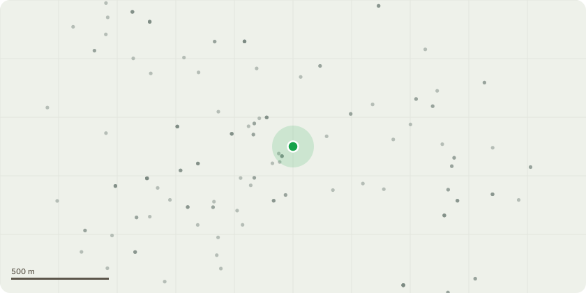
Approximate location
Proposal
Application for approval of details reserved by condition 1 (Construction Hours), condition 2 (Method Statement Noise), condition 3 (Dust Emissions Statement) and condition 4 (Detailed Landscape Scheme) of planning permission HW/REMVAR/24/00307 for proposed alterations to the footprint, size, and number of canopies to rationalise the arrangement while retaining cover over the bus waiting bays, including repositioning columns to suit. Changes to the materiality of the canopy roof. Alterations to the transport hub building to reduce the glazing height and the introduction of metal cladding on upper part of facade. In addition, the inclusion of expressed curtain wall mullion framing to meet fire performance requirements. Changes to the pattern and extent of hard landscaping to rationalise appearance of paving, and alterations to the height and appearance of bus waiting bay screens for proposed redevelopment of Harlow Bus Station, Including a Transport Hub and Interchange.
Key dates
- Received 9 Jan 2025
- Validated 9 Jan 2025
- Started 9 Jan 2025
- Decided 19 Mar 2025
Planning history / related applications
No related planning applications have been identified in the current public OGL dataset.
Inside plotEdge
Go beyond the public record
This page is the public OGL record. plotEdge adds the private intelligence layer for this site - open it in the app to unlock:
- Ownership & title Registered owner and title from HM Land Registry.
- Viability & build potential Site scoring and development upside.
- Constraints Flood risk, green belt, conservation areas and designations.
- Approval signal Planning risk and approval-likelihood analysis.
- Comparable applications Decisions on similar nearby sites, side by side.
- Status alerts Get notified the moment this application changes.
Source: public planning application data from Harlow, reused under the Open Government Licence v3.0. View the council source record. Council documents and drawings are not republished on plotEdge.