Hammersmith and Fulham
Hammersmith and Fulham/P/2026/01564/LBC
St Dionis Vicarage, 18 Parsons Green, London, SW6 4UH
- Reference
- Hammersmith and Fulham/P/2026/01564/LBC
- Authority
- Hammersmith and Fulham
- Address
- St Dionis Vicarage, 18 Parsons Green, London, SW6 4UH
- Postcode
- SW6 4UH
- Received
- 18 Jun 2026
- Started
- 18 Jun 2026
- Source council
- Hammersmith and Fulham
- Council source record
- View public record
- Public data licence
- Open Government Licence v3.0
- Record updated
- 9 Jul 2026
- SEO index generated
- 24 Jul 2026
Location
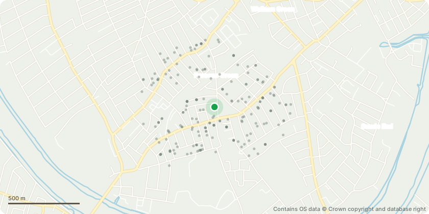
Approximate location - Contains OS data © Crown copyright and database right
Proposal
Refurbishment of the existing Grade II listed St Dionis Vicarage for its continued use as a single-family dwelling (Class C3); excavation of basement set away from the host building; replacement of the rear conservatory; erection of studio outbuilding linked to the house via a lightweight glazed connection; replacement of the existing garage; erection of an infill extension within the existing roof form; minor internal reconfiguration, repair and reinstatement of historic fabric, and the replacement of non-original façade elements; associated alterations.
Key dates
- Received 18 Jun 2026
- Started 18 Jun 2026
Planning history / related applications
No related planning applications have been identified in the current public OGL dataset.
Inside plotEdge
Go beyond the public record
This page is the public OGL record. plotEdge adds the private intelligence layer for this site - open it in the app to unlock:
- Ownership & title Registered owner and title from HM Land Registry.
- Viability & build potential Site scoring and development upside.
- Constraints Flood risk, green belt, conservation areas and designations.
- Approval signal Planning risk and approval-likelihood analysis.
- Comparable applications Decisions on similar nearby sites, side by side.
- Status alerts Get notified the moment this application changes.
Source: public planning application data from Hammersmith and Fulham, reused under the Open Government Licence v3.0. View the council source record. Council documents and drawings are not republished on plotEdge.