Hammersmith and Fulham
Hammersmith and Fulham/P/2026/00806/NMAT
17 Imperial Road, London, SW6 2AN
- Reference
- Hammersmith and Fulham/P/2026/00806/NMAT
- Authority
- Hammersmith and Fulham
- Address
- 17 Imperial Road, London, SW6 2AN
- Postcode
- SW6 2AN
- Received
- 7 Apr 2026
- Started
- 7 Apr 2026
- Source council
- Hammersmith and Fulham
- Council source record
- View public record
- Public data licence
- Open Government Licence v3.0
- Record updated
- 9 Jul 2026
- SEO index generated
- 24 Jul 2026
Location
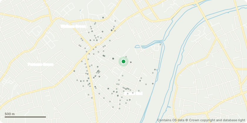
Approximate location - Contains OS data © Crown copyright and database right
Proposal
Non-Material Amendment to Planning Permission (ref: 2018/02100/COMB ) dated 8 February 2019 (as amended by ref: 2024/00961/VAR dated 3 December 2024), in respect of Condition 4 (Drawings) and Condition 5 (Design Codes and Parameter Plans) to allow amendments to the massing, heights, levels, access arrangements and layouts of Phase 5b (Development Plot F1). The amendments comprise: a. Extend the upper floor step in the parameter facing Imperial Road south by c.8m, with the corresponding maximum height of the shoulder level amended from AOD+ 34.575 to AOD+ 37.750 (increase of 3.175m); b. Extend the parameter footprint to the north (by c. 60mm) and south (by c. 120mm); c. Realignment of the western half of the parameter ('wing'), with the previously irregular shape amended to a more rectilinear form; d. The ground floor level of the eastern part of the parameter to be lowered to 4.450m (reduction of 300mm); e. Extension of the ground floor infill podium north by 27.3m. ... read more
Key dates
- Received 7 Apr 2026
- Started 7 Apr 2026
Planning history / related applications
No related planning applications have been identified in the current public OGL dataset.
Inside plotEdge
Go beyond the public record
This page is the public OGL record. plotEdge adds the private intelligence layer for this site - open it in the app to unlock:
- Ownership & title Registered owner and title from HM Land Registry.
- Viability & build potential Site scoring and development upside.
- Constraints Flood risk, green belt, conservation areas and designations.
- Approval signal Planning risk and approval-likelihood analysis.
- Comparable applications Decisions on similar nearby sites, side by side.
- Status alerts Get notified the moment this application changes.
Source: public planning application data from Hammersmith and Fulham, reused under the Open Government Licence v3.0. View the council source record. Council documents and drawings are not republished on plotEdge.