Hammersmith and Fulham
Hammersmith and Fulham/2026/00067/FUL
Sir William Powell'S Almshouses Church Gate, London, SW6 3LB
- Reference
- Hammersmith and Fulham/2026/00067/FUL
- Authority
- Hammersmith and Fulham
- Address
- Sir William Powell'S Almshouses Church Gate, London, SW6 3LB
- Postcode
- SW6 3LB
- Received
- 16 Jan 2026
- Started
- 16 Jan 2026
- Source council
- Hammersmith and Fulham
- Council source record
- View public record
- Public data licence
- Open Government Licence v3.0
- Record updated
- 9 Jul 2026
- SEO index generated
- 24 Jul 2026
Location
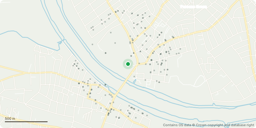
Approximate location - Contains OS data © Crown copyright and database right
Proposal
External alterations to the roof of Sir William Powell Almshouses with the scope of improving rainwater management. Alterations to include: Increasing the volume of the gutters with lead extension on both the internal and external sides; installation of sectional side copper guards through the roof tiles at the correct level to direct the water to areas better able to cope with higher rainfall, distributing rainwater more evenly along the gutters, and onto areas capable of accommodating the flow; provision of lead elements, such as spouts, at regular intervals along both gutters levels, inserted in limited areas of the stonework where the potential harm is considered less than substantial, in consideration of the significant benefit of removing rainwater quickly and efficiently from the elevations; creation of dedicated paths for rainwater away from the elevation through the installation of lead spouts in the most damaged areas of the stonework, with the spouts only inserted in areas... read more
Key dates
- Received 16 Jan 2026
- Started 16 Jan 2026
Planning history / related applications
No related planning applications have been identified in the current public OGL dataset.
Inside plotEdge
Go beyond the public record
This page is the public OGL record. plotEdge adds the private intelligence layer for this site - open it in the app to unlock:
- Ownership & title Registered owner and title from HM Land Registry.
- Viability & build potential Site scoring and development upside.
- Constraints Flood risk, green belt, conservation areas and designations.
- Approval signal Planning risk and approval-likelihood analysis.
- Comparable applications Decisions on similar nearby sites, side by side.
- Status alerts Get notified the moment this application changes.
Source: public planning application data from Hammersmith and Fulham, reused under the Open Government Licence v3.0. View the council source record. Council documents and drawings are not republished on plotEdge.