Hammersmith and Fulham
Hammersmith and Fulham/2025/03179/OBS
45 - 53 Old Oak Road, London
- Reference
- Hammersmith and Fulham/2025/03179/OBS
- Authority
- Hammersmith and Fulham
- Address
- 45 - 53 Old Oak Road, London
- Received
- 18 Nov 2025
- Started
- 18 Nov 2025
- Source council
- Hammersmith and Fulham
- Council source record
- View public record
- Public data licence
- Open Government Licence v3.0
- Record updated
- 9 Jul 2026
- SEO index generated
- 24 Jul 2026
Location
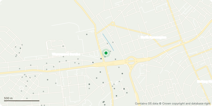
Approximate location - Contains OS data © Crown copyright and database right
Proposal
Variation of condition 2 (in accordance with approved drawings) pursuant to planning permission dated 21/05/2021 ref 2017/5724 (Demolition of existing buildings and erection of a mixed use development of between seven and ten-storeys, plus basement level, to provide flexible Class A1/A2/A3 uses (shops, financial and professional services, restaurants and cafes); Class B1(a) offices, and a hotel, together with associated works including a landscaped public courtyard and cycle parking facilities) to allow alterations to floorplans and elevations, including changes to window locations and configurations; modified parapet lines and ventilation louvres; changes to rear elevation including small extensions to the upper floors; deeper basement accommodation; reconfiguration of floor layouts; increased rooftop plant; incorporation of Air Source Heat Pumps in place of solar panels; introduction of a substation. The proposed changes would result in the basement reduced from 794 sq.m. to 682 sq.... read more
Key dates
- Received 18 Nov 2025
- Started 18 Nov 2025
Planning history / related applications
No related planning applications have been identified in the current public OGL dataset.
Inside plotEdge
Go beyond the public record
This page is the public OGL record. plotEdge adds the private intelligence layer for this site - open it in the app to unlock:
- Ownership & title Registered owner and title from HM Land Registry.
- Viability & build potential Site scoring and development upside.
- Constraints Flood risk, green belt, conservation areas and designations.
- Approval signal Planning risk and approval-likelihood analysis.
- Comparable applications Decisions on similar nearby sites, side by side.
- Status alerts Get notified the moment this application changes.
Source: public planning application data from Hammersmith and Fulham, reused under the Open Government Licence v3.0. View the council source record. Council documents and drawings are not republished on plotEdge.