Hammersmith and Fulham
Hammersmith and Fulham/2025/02524/SCREIA
74-82 Carnwath Road, London, SW6 3JX
- Reference
- Hammersmith and Fulham/2025/02524/SCREIA
- Authority
- Hammersmith and Fulham
- Address
- 74-82 Carnwath Road, London, SW6 3JX
- Postcode
- SW6 3JX
- Received
- 18 Sept 2025
- Started
- 18 Sept 2025
- Source council
- Hammersmith and Fulham
- Council source record
- View public record
- Public data licence
- Open Government Licence v3.0
- Record updated
- 9 Jul 2026
- SEO index generated
- 24 Jul 2026
Location
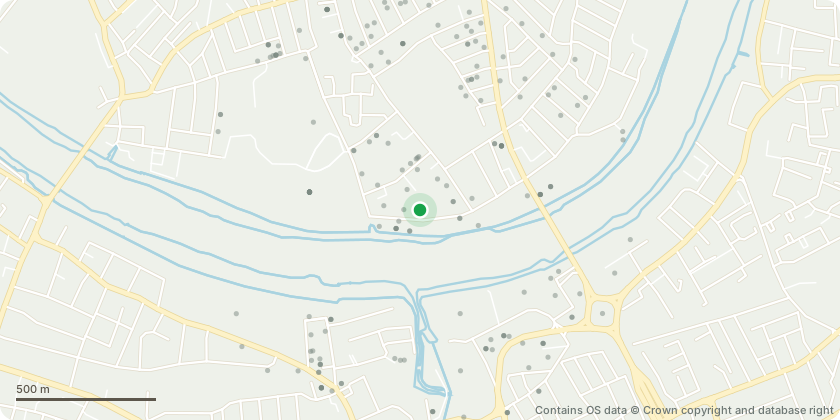
Approximate location - Contains OS data © Crown copyright and database right
Proposal
Request for an Environmental Impact Assessment (EIA) screening opinion pursuant to Regulation 6 of the Town and Country Planning (Environmental Impact Assessment) Regulations 20171 (hereafter referred to as the EIA Regulations) in relation to the proposed redevelopment of 74-86 Carnwath Road, Fulham, London (hereafter referred to as the Site). The Applicant intends to submit a full planning application for the construction of a ground + six-storey building for co-living use with approximately 310-330 co-living beds, 5,000 sqft of Class E/F (nonresidential use) space at ground level and c.550 sqm of public realm (hereafter referred to as the Proposed Development). It is anticipated that five blue badge parking spaces will be the only car parking provision for the scheme. Whilst the design of the Development is not yet fixed for the purposes of the full planning application, the information provided to Waterman by the Applicant and their consultant team, and contained herein, is cons... read more
Key dates
- Received 18 Sept 2025
- Started 18 Sept 2025
Planning history / related applications
No related planning applications have been identified in the current public OGL dataset.
Inside plotEdge
Go beyond the public record
This page is the public OGL record. plotEdge adds the private intelligence layer for this site - open it in the app to unlock:
- Ownership & title Registered owner and title from HM Land Registry.
- Viability & build potential Site scoring and development upside.
- Constraints Flood risk, green belt, conservation areas and designations.
- Approval signal Planning risk and approval-likelihood analysis.
- Comparable applications Decisions on similar nearby sites, side by side.
- Status alerts Get notified the moment this application changes.
Source: public planning application data from Hammersmith and Fulham, reused under the Open Government Licence v3.0. View the council source record. Council documents and drawings are not republished on plotEdge.