Hammersmith and Fulham
Hammersmith and Fulham/2025/02421/DET
831B Harrow Road, London, NW10 5NH
- Reference
- Hammersmith and Fulham/2025/02421/DET
- Authority
- Hammersmith and Fulham
- Address
- 831B Harrow Road, London, NW10 5NH
- Postcode
- NW10 5NH
- Received
- 20 Nov 2025
- Started
- 20 Nov 2025
- Source council
- Hammersmith and Fulham
- Council source record
- View public record
- Public data licence
- Open Government Licence v3.0
- Record updated
- 9 Jul 2026
- SEO index generated
- 24 Jul 2026
Location
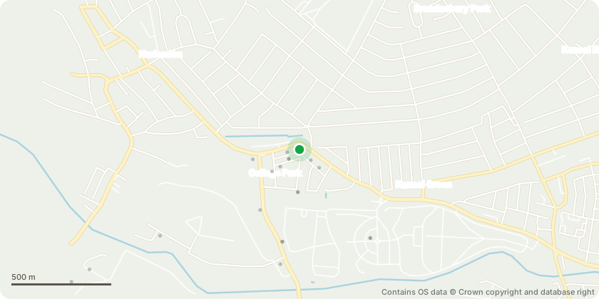
Approximate location - Contains OS data © Crown copyright and database right
Proposal
Submission of details of preliminary risk assessment report pursuant to condition 4; site investigation scheme pursuant to condition 5; quantitative risk assessment report pursuant to condition 6; remediation method statement pursuant to condition 7; verification report pursuant to condition 8; onward long-term monitoring methodology report pursuant to condition 9; external noise levels including reflected and re-radiated noise and details of the sound insulation of the building envelope, orientation of habitable rooms away from major noise sources and of acoustically attenuated mechanical ventilation as necessary to achieve internal room and (if provided) external amenity noise standards pursuant to condition 10; sound insulation of the floor/ ceiling/ walls separating the commercial part(s) of the premises from the proposed dwellings pursuant to condition 11; enhanced sound insulation value DnT,w and L'nT,w of at least 5dB above the Building Regulations value, for the floor/ceiling/w... read more
Key dates
- Received 20 Nov 2025
- Started 20 Nov 2025
Planning history / related applications
No related planning applications have been identified in the current public OGL dataset.
Inside plotEdge
Go beyond the public record
This page is the public OGL record. plotEdge adds the private intelligence layer for this site - open it in the app to unlock:
- Ownership & title Registered owner and title from HM Land Registry.
- Viability & build potential Site scoring and development upside.
- Constraints Flood risk, green belt, conservation areas and designations.
- Approval signal Planning risk and approval-likelihood analysis.
- Comparable applications Decisions on similar nearby sites, side by side.
- Status alerts Get notified the moment this application changes.
Source: public planning application data from Hammersmith and Fulham, reused under the Open Government Licence v3.0. View the council source record. Council documents and drawings are not republished on plotEdge.