Hammersmith and Fulham
Hammersmith and Fulham/2025/02302/LBCHF
Hammersmith Cemetery Margravine Road, London
- Reference
- Hammersmith and Fulham/2025/02302/LBCHF
- Authority
- Hammersmith and Fulham
- Address
- Hammersmith Cemetery Margravine Road, London
- Received
- 29 Aug 2025
- Started
- 29 Aug 2025
- Decided
- 22 May 2026
- Source council
- Hammersmith and Fulham
- Council source record
- View public record
- Public data licence
- Open Government Licence v3.0
- Record updated
- 9 Jul 2026
- SEO index generated
- 24 Jul 2026
Location
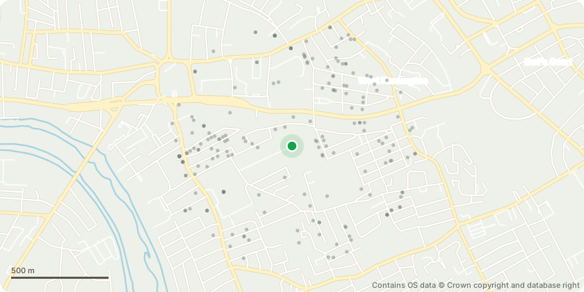
Approximate location - Contains OS data © Crown copyright and database right
Proposal
Works to 3no listed structures comprising of The Frederic Young Mausoleum: Replacement of corroded iron beams supporting the internal ledger stone; repair of damaged internal mosaic flooring, repair and restoration of roof and rainwater goods- replacement of lead flashing, replacement of gutters, re-fixing of fish scale slate tiles following repairs to roof timbers where required, install new ground drainage system (French drain), repair and restoration of both internal and internal stonework, clean and reinstate all internal monuments, repair stained glass to the north elevation and within the entrance door. Protect from future damage, removal of biological growth from the building, remove black carbon deposits on the sandstone and Portland mouldings with ammonium carbonate poultices and lime mortar surface repairs; The Reception House: Remove and replace existing rainwater gutters and drainage, slipped and damaged roof tiles to be replaced, repair and replace all lead flashing to bot... read more
Key dates
- Received 29 Aug 2025
- Started 29 Aug 2025
- Decided 22 May 2026
Planning history / related applications
No related planning applications have been identified in the current public OGL dataset.
Inside plotEdge
Go beyond the public record
This page is the public OGL record. plotEdge adds the private intelligence layer for this site - open it in the app to unlock:
- Ownership & title Registered owner and title from HM Land Registry.
- Viability & build potential Site scoring and development upside.
- Constraints Flood risk, green belt, conservation areas and designations.
- Approval signal Planning risk and approval-likelihood analysis.
- Comparable applications Decisions on similar nearby sites, side by side.
- Status alerts Get notified the moment this application changes.
Source: public planning application data from Hammersmith and Fulham, reused under the Open Government Licence v3.0. View the council source record. Council documents and drawings are not republished on plotEdge.