Hammersmith and Fulham
Hammersmith and Fulham/2025/01039/VAPO
1, Hartopp Point Pellant Road, London, SW6 7NG
- Reference
- Hammersmith and Fulham/2025/01039/VAPO
- Authority
- Hammersmith and Fulham
- Address
- 1, Hartopp Point Pellant Road, London, SW6 7NG
- Postcode
- SW6 7NG
- Received
- 9 Apr 2025
- Started
- 9 Apr 2025
- Source council
- Hammersmith and Fulham
- Council source record
- View public record
- Public data licence
- Open Government Licence v3.0
- Record updated
- 14 Jul 2026
- SEO index generated
- 24 Jul 2026
Location
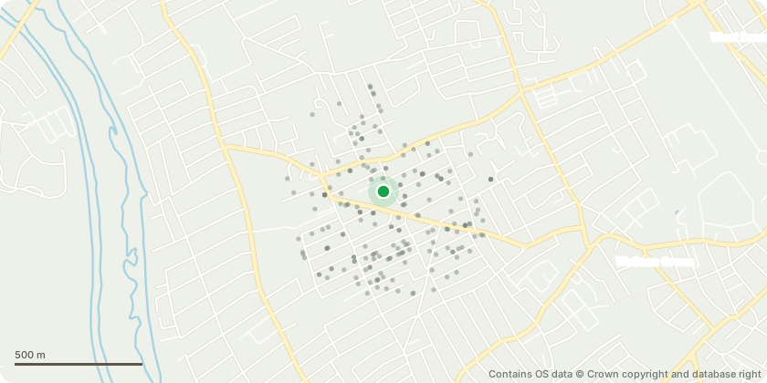
Approximate location - Contains OS data © Crown copyright and database right
Proposal
Variation of the Unilateral Deed of Undertaking attached to planning permission ref: 2022/01346/FR3 dated 9 February 2023 to change 22 market housing units to 22 discounted market housing units (offering a minimum 30 percent discount below open market value). Proposals also seek to amend the following notice periods; Schedule 3 (Affordable Housing) paragraph 1.4 to change the 6 months notice period from practical completion of the shared ownership units to 3 months; paragraphs 4.5 and 6.3 to change the 9 months notice period from practical completion of London Affordable Rent and Social Rent units to 3 months; and Schedule 4 (Wheelchair Units) change definition of Marketing Period from 12 months to 3 months plus paragraph 1.3 change 12 months notice to 3 months notice.
Key dates
- Received 9 Apr 2025
- Started 9 Apr 2025
Planning history / related applications
No related planning applications have been identified in the current public OGL dataset.
Inside plotEdge
Go beyond the public record
This page is the public OGL record. plotEdge adds the private intelligence layer for this site - open it in the app to unlock:
- Ownership & title Registered owner and title from HM Land Registry.
- Viability & build potential Site scoring and development upside.
- Constraints Flood risk, green belt, conservation areas and designations.
- Approval signal Planning risk and approval-likelihood analysis.
- Comparable applications Decisions on similar nearby sites, side by side.
- Status alerts Get notified the moment this application changes.
Source: public planning application data from Hammersmith and Fulham, reused under the Open Government Licence v3.0. View the council source record. Council documents and drawings are not republished on plotEdge.