Hammersmith and Fulham
Hammersmith and Fulham/2025/00069/TREE
Flat Ground Floor, 1 Arminger Road, London, W12 7BA
- Reference
- Hammersmith and Fulham/2025/00069/TREE
- Authority
- Hammersmith and Fulham
- Address
- Flat Ground Floor, 1 Arminger Road, London, W12 7BA
- Postcode
- W12 7BA
- Received
- 12 Jan 2025
- Started
- 12 Jan 2025
- Source council
- Hammersmith and Fulham
- Council source record
- View public record
- Public data licence
- Open Government Licence v3.0
- Record updated
- 14 Jul 2026
- SEO index generated
- 24 Jul 2026
Location
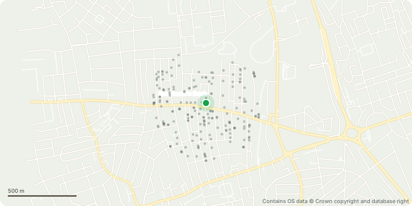
Approximate location - Contains OS data © Crown copyright and database right
Proposal
Fell tree in our Front garden, which is a conifer tree started to grow a few years ago (T1). The tree has grown very fast and it has reached to the top of the two story house which is about 6-7 meters. Our neighbour complained that the tree is blocking the view from their first-floor window. We are also concerned that it might fall on the top of our house or on the road, and cause problems with people on the street as it moves a lot when it's windy. We would also like to cut and remove another three in our front garden, which is a pink plumeria tree planed by the previous flat owner (T2). The tree is planted too close to the house. When it rains, rainwater from the tree goes to our exterior wall causing dump issues and damages. We don't have enough space to place our bins as many trees are planted in the front garden making our front garden looks unorganised.
Key dates
- Received 12 Jan 2025
- Started 12 Jan 2025
Planning history / related applications
No related planning applications have been identified in the current public OGL dataset.
Inside plotEdge
Go beyond the public record
This page is the public OGL record. plotEdge adds the private intelligence layer for this site - open it in the app to unlock:
- Ownership & title Registered owner and title from HM Land Registry.
- Viability & build potential Site scoring and development upside.
- Constraints Flood risk, green belt, conservation areas and designations.
- Approval signal Planning risk and approval-likelihood analysis.
- Comparable applications Decisions on similar nearby sites, side by side.
- Status alerts Get notified the moment this application changes.
Source: public planning application data from Hammersmith and Fulham, reused under the Open Government Licence v3.0. View the council source record. Council documents and drawings are not republished on plotEdge.