Hammersmith and Fulham
Hammersmith and Fulham/2025/00017/VAR
163 New King'S Road, London, SW6 4SN
- Reference
- Hammersmith and Fulham/2025/00017/VAR
- Authority
- Hammersmith and Fulham
- Address
- 163 New King'S Road, London, SW6 4SN
- Postcode
- SW6 4SN
- Received
- 9 Jan 2025
- Started
- 9 Jan 2025
- Decided
- 5 Mar 2025
- Source council
- Hammersmith and Fulham
- Council source record
- View public record
- Public data licence
- Open Government Licence v3.0
- Record updated
- 14 Jul 2026
- SEO index generated
- 24 Jul 2026
Location
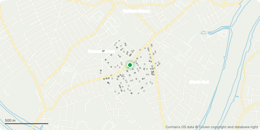
Approximate location - Contains OS data © Crown copyright and database right
Proposal
Variation of condition 8 and removal of condition 17 of planning permission ref: 2012/00426/FUL granted 11th July 2012 for the 'Change of use of the basement and ground floor from a private members club (Sui Generis) to a day nursery (Class D1); formation of external fire escape stair in front lightwell from basement to ground floor level with cycle storage beneath; replacement of existing roller shutter to the Chipstead Street elevation and replacement with double wooden doors; excavation of half of the basement floor area to a depth of 640mm; formation of a play area in front lightwell and various internal alterations.' The proposed amendments would allow the use of the private amenity space by children attending the nursery between 09:00 to 11:30 AM and between 14:00-16:30pm and remove the requirement of the submission of a Construction Logistics Management Plan.
Key dates
- Received 9 Jan 2025
- Started 9 Jan 2025
- Decided 5 Mar 2025
Planning history / related applications
No related planning applications have been identified in the current public OGL dataset.
Inside plotEdge
Go beyond the public record
This page is the public OGL record. plotEdge adds the private intelligence layer for this site - open it in the app to unlock:
- Ownership & title Registered owner and title from HM Land Registry.
- Viability & build potential Site scoring and development upside.
- Constraints Flood risk, green belt, conservation areas and designations.
- Approval signal Planning risk and approval-likelihood analysis.
- Comparable applications Decisions on similar nearby sites, side by side.
- Status alerts Get notified the moment this application changes.
Source: public planning application data from Hammersmith and Fulham, reused under the Open Government Licence v3.0. View the council source record. Council documents and drawings are not republished on plotEdge.