Hammersmith and Fulham
Hammersmith and Fulham/2024/02388/NMAT
Ada Lewis House, 2 Palliser Road, London, W14 9EF
- Reference
- Hammersmith and Fulham/2024/02388/NMAT
- Authority
- Hammersmith and Fulham
- Address
- Ada Lewis House, 2 Palliser Road, London, W14 9EF
- Postcode
- W14 9EF
- Received
- 27 Sept 2024
- Started
- 27 Sept 2024
- Decided
- 27 Feb 2025
- Source council
- Hammersmith and Fulham
- Council source record
- View public record
- Public data licence
- Open Government Licence v3.0
- Record updated
- 18 Jul 2026
- SEO index generated
- 24 Jul 2026
Location
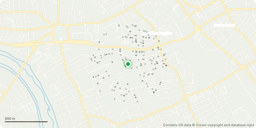
Approximate location - Contains OS data © Crown copyright and database right
Proposal
Non-material amendments to planning permission reference: 2019/02351/FUL dated 5th January 2023 for the "Demolition of the existing building and the erection of a replacement five-storey building comprising 36 Affordable Housing units (9 maisonettes and 27 apartments) with private gardens, communal courtyard and cycle storage." Amendments sought are various alterations including changes to the internal courtyard balustrades from laminated glass to metal bars; mansard changed to flat roof and metal railing replaced with mansafe system; brick recesses depth rationalized; brick headers introduced at curved corners; brick header course introduced above windows (to suit brick soffits); ground floor metal cladding to bin store front (Barton Road) replaced with glazed brick; maisonettes entrance door and glazing details revised; gable end wall on 3rd floor changed to brickwork; and bins enclosure above existing substation removed (individual bins provided to maisonettes on Comeragh Road inst... read more
Key dates
- Received 27 Sept 2024
- Started 27 Sept 2024
- Decided 27 Feb 2025
Planning history / related applications
No related planning applications have been identified in the current public OGL dataset.
Inside plotEdge
Go beyond the public record
This page is the public OGL record. plotEdge adds the private intelligence layer for this site - open it in the app to unlock:
- Ownership & title Registered owner and title from HM Land Registry.
- Viability & build potential Site scoring and development upside.
- Constraints Flood risk, green belt, conservation areas and designations.
- Approval signal Planning risk and approval-likelihood analysis.
- Comparable applications Decisions on similar nearby sites, side by side.
- Status alerts Get notified the moment this application changes.
Source: public planning application data from Hammersmith and Fulham, reused under the Open Government Licence v3.0. View the council source record. Council documents and drawings are not republished on plotEdge.